logo

1930. Brief History of Polar Exploration since the Introduction of Flying by W.L.G. Joerg to accompany a Physical Map of the Arctic and a Bathymetric Map of the Antarctic

  • Brief History of Polar Exploration since the Introduction of Flying by W.L.G. Joerg to accompany a Physical Map of the Arctic and a Bathymetric Map of the Antarctic
  • Brief History of Polar Exploration since the Introduction of Flying by W.L.G. Joerg to accompany a Physical Map of the Arctic and a Bathymetric Map of the Antarctic
  • Brief History of Polar Exploration since the Introduction of Flying by W.L.G. Joerg to accompany a Physical Map of the Arctic and a Bathymetric Map of the Antarctic
  • Brief History of Polar Exploration since the Introduction of Flying by W.L.G. Joerg to accompany a Physical Map of the Arctic and a Bathymetric Map of the Antarctic

Brief History of Polar Exploration since the Introduction of Flying by W.L.G. Joerg to accompany a Physical Map of the Arctic and a Bathymetric Map of the Antarctic information:

Year of creation: 
Resolution size (pixels): 
 15275x14048 px
Disk Size: 
 68.9002MiB
Number of pages: 
 4
Place: 
 New York

Print information. Print size (Width x height in inches):
Printing at 72 dpi 
  212.15 х 195.11
Printing at 150 dpi 
 101.83 х 93.65
Printing at 300 dpi 
 50.92 х 46.83

An example of detailing the file of this map of in a printable high-resolution:

Click to open in high resolution (open in new tab).
Attention! this is just the central piece (central area 960x960 px) of the map file!
This is an example, so that you can see and study the level of detail of a given map. The entire Map will be fully available after payment!

Brief History of Polar Exploration since the Introduction of Flying by W.L.G. Joerg to accompany a Physical Map of the Arctic and a Bathymetric Map of the Antarctic

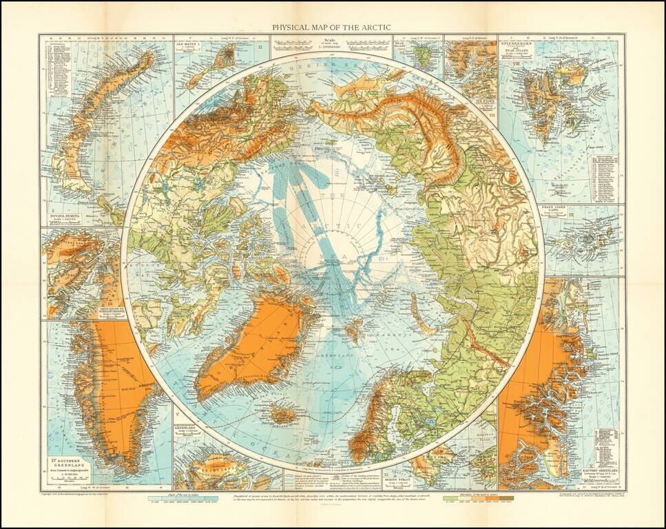
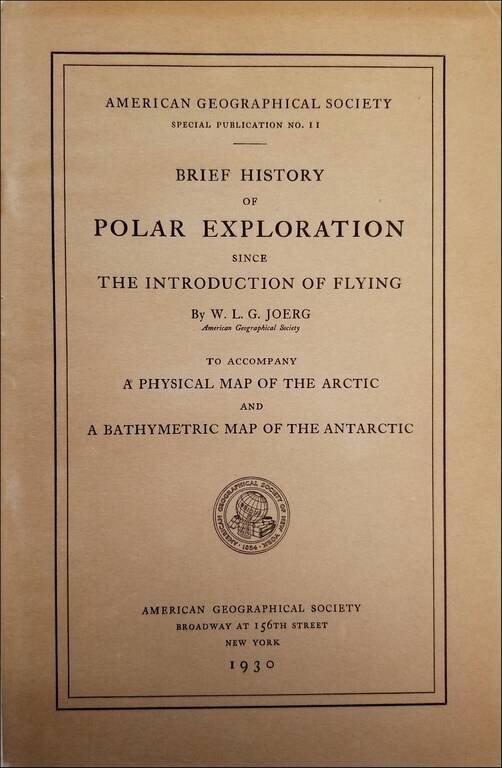
Intereting publication and maps focused on the special methods of air navigation in the Polar regions.

The maps cover the north and south Polar regions.


Special conditions for students!

If you are a student, write to us in telegram: @antiquemaps and indicate what material you need and for what work you need a map in high detail. We are ready to provide material on special terms. For students only!

Item information:

Year of creation:
Size:
15275x14048 px
Disk:
68.9002MiB
Number of pages:
4
Place:
New York
Author:
American Geographical Society.
$14.99

Related item