logo

1946. Bill Skacel's Cartoon Indiana

  • Bill Skacel's Cartoon Indiana
  • Bill Skacel's Cartoon Indiana

Bill Skacel's Cartoon Indiana information:

Year of creation: 
Resolution size (pixels): 
 7155x10830 px
Disk Size: 
 26.9908MiB
Number of pages: 
 2
Place: 
 Milwaukee
Author: 

Print information. Print size (Width x height in inches):
Printing at 72 dpi 
  99.38 х 150.42
Printing at 150 dpi 
 47.7 х 72.2
Printing at 300 dpi 
 23.85 х 36.1

An example of detailing the file of this map of in a printable high-resolution:

Click to open in high resolution (open in new tab).
Attention! this is just the central piece (central area 960x960 px) of the map file!
This is an example, so that you can see and study the level of detail of a given map. The entire Map will be fully available after payment!

Bill Skacel's Cartoon Indiana

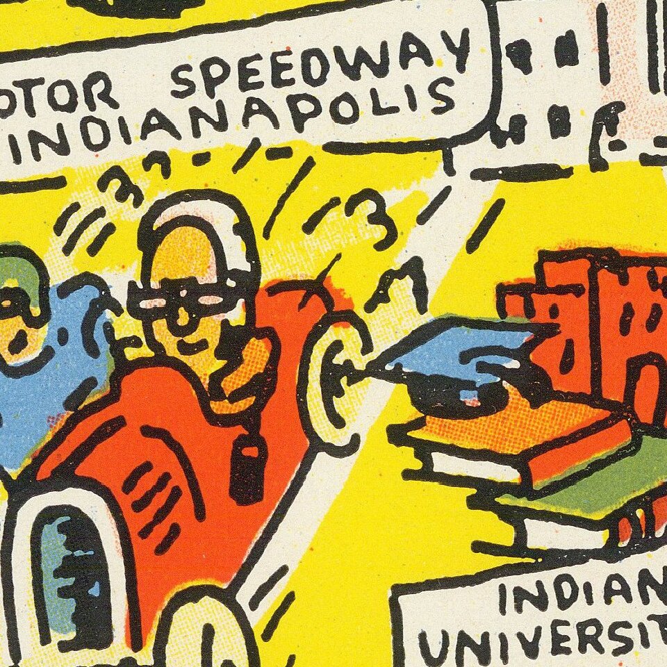
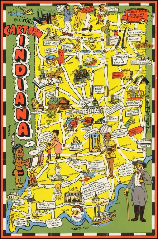
Scarce pictorial map of Indiana.

The map provides a whimsical image of Indiana's tourists and other important sites, with roads and distances noted.

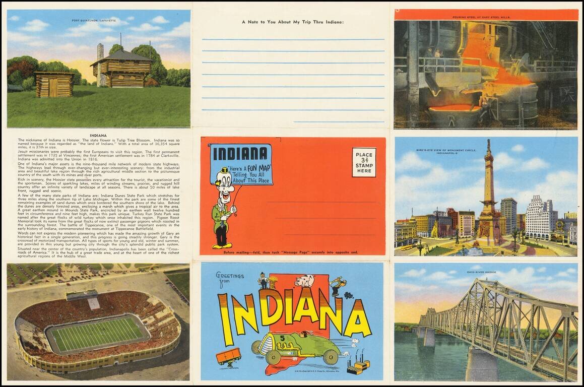
On verso: photos of scenic views, landmark and text.


Special conditions for students!

If you are a student, write to us in telegram: @antiquemaps and indicate what material you need and for what work you need a map in high detail. We are ready to provide material on special terms. For students only!

Item information:

Year of creation:
Size:
7155x10830 px
Disk:
26.9908MiB
Number of pages:
2
Place:
Milwaukee
Author:
Bill Skacel.
$14.99

Related item