Map size in jpg-format: 6.14868MiB
Click to open in high resolution (open in new tab).
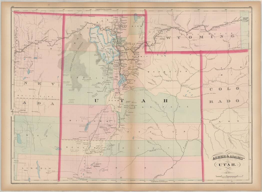
One of the earliest obtainable maps of Utah Territory.
Asher & Adams map of Utah is among the earliest map of Utah Territory in its modern configuration to appear in a commercial atlas.
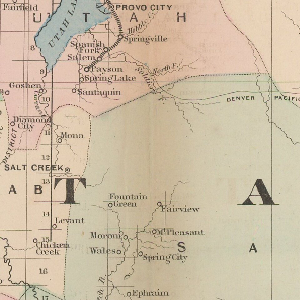
The focus of the map is the railroad and related detail within the map.
Asher & Adams was a New York publishing firm known for their atlases. Notably, their maps were some of the first to prominently exhibit railroad lines, even if this meant a slight reduction in topographical detail. They specialized especially in state and county maps of the United States.
If you are a student, write to us in telegram: @antiquemaps and indicate what material you need and for what work you need a map in high detail. We are ready to provide material on special terms. For students only!
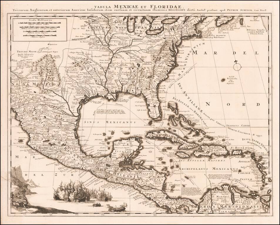
![Carte Du Mexique et de la Floride des Terres Angloises et des Isles Antilles du Cours et des Environs de la Riviere Mississipi . . . Rue Des Canettes . . . 1703 [1st State]](/map/small/66307op.jpg)