Map size in jpg-format: 52.1316MiB
Click to open in high resolution (open in new tab).
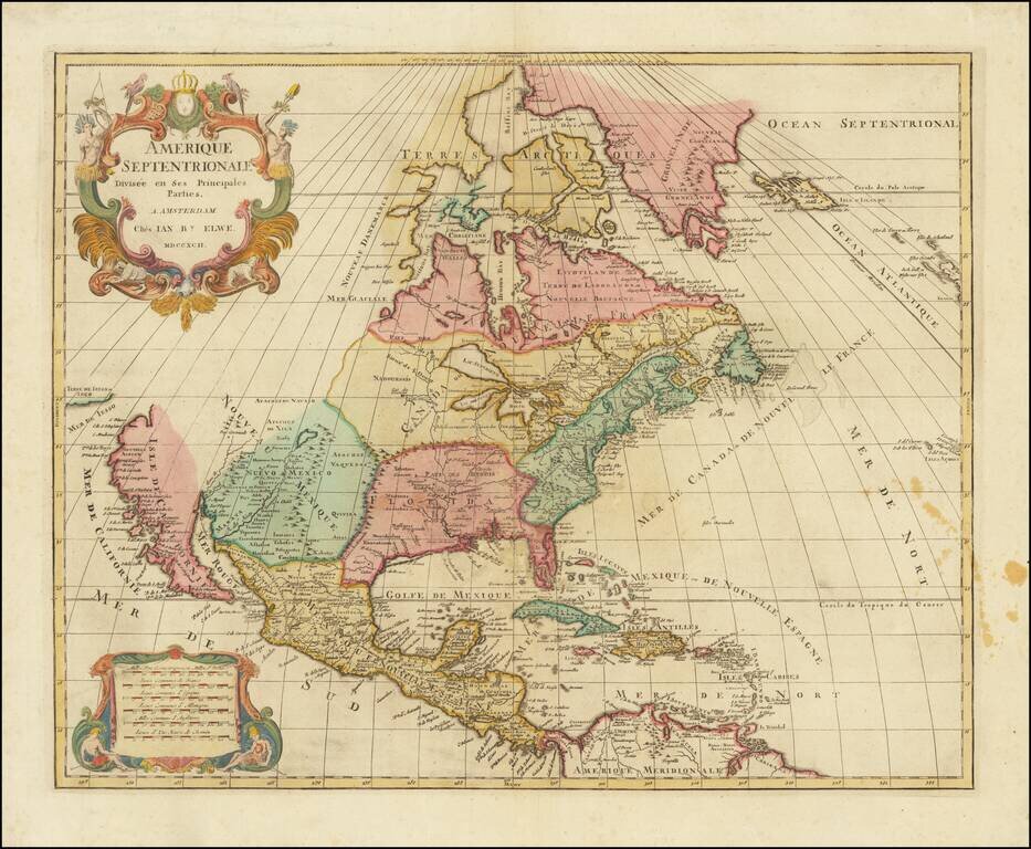
Interesting map of North America by Jan Elwe, printed in Amsterdam.
The map is a scarce derivative of Sanson's 1656 and Jaillot's 1676 maps. California is now a peninsula. The Great Lakes are closed at the western ends, unlike the earlier versions of the map.
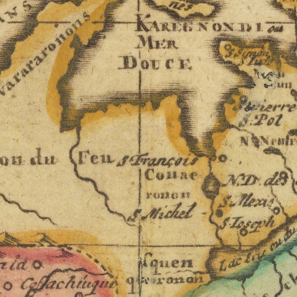
The map includes interesting details between the Colorado River and Rio Grande and along Mississippi River. In spite of the late dating, it depicts a wonderful archipelagic Florida, marvelous early depiction of the Mississippi River, NW Passage and early re-attachment of California to the mainland, although still referred to as the Isle de Californie.
Elwe's map is a one of the more interesting anomalies among map collectors. It is indeed curious to have made use of early 18th Century copperplates to produce such a remarkably attractive and undoubtedly expensive work, but this apparently did not deter Elwe, who also produced stunning double hemisphere world maps and other maps, each of which was meticulously re-engraved to include his name and the date Elwe
Elwe acquired the Ottens plate, revised its imprint and published the map in his 1792 folio Atlas.
If you are a student, write to us in telegram: @antiquemaps and indicate what material you need and for what work you need a map in high detail. We are ready to provide material on special terms. For students only!


![[Signed Political Satire Artwork] Vietnam ... Vietnam ... Vietnam ...](/map/small/68726.jpg)