logo

1871. America

  • America
  • America

Map size in jpg-format: 70.2616MiB

Download "America", in high resolution.

America information:

Year of creation: 
Resolution size (pixels): 
 12401x15326 px
Disk Size: 
 70.2616MiB
Number of pages: 
 2
Place: 
 Weimar

Print information. Print size (Width x height in inches):
Printing at 72 dpi 
  172.24 х 212.86
Printing at 150 dpi 
 82.67 х 102.17
Printing at 300 dpi 
 41.34 х 51.09

An example of detailing the file of this map of in a printable high-resolution:

Click to open in high resolution (open in new tab).
Attention! this is just the central piece (central area 960x960 px) of the map file!
This is an example, so that you can see and study the level of detail of a given map. The entire Map will be fully available after payment!

America

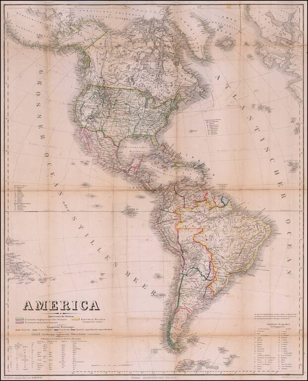
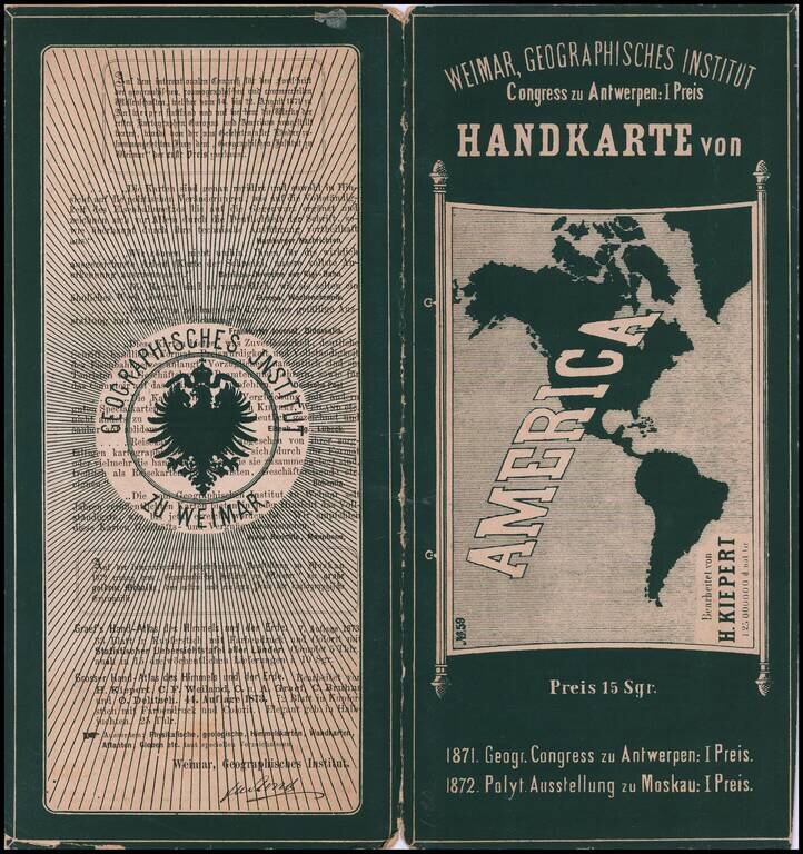
Rare Pocket Map of America, Celebrating World Conferences in Antwerp & Moscow

Rare separately published map of America, published by the Weimar Geographische Institut, in conjunction with the International Geographical Conference in Antwerp of 1871 and the Moscow Polytechnic Exhibition of 1872.

The map is divided by geographical regions, with European colonies separately colored.


Special conditions for students!

If you are a student, write to us in telegram: @antiquemaps and indicate what material you need and for what work you need a map in high detail. We are ready to provide material on special terms. For students only!

Item information:

Year of creation:
Size:
12401x15326 px
Disk:
70.2616MiB
Number of pages:
2
Place:
Weimar
Author:
Weimar Geographische Institut. Heinrich Kiepert.
$14.99

Related item