
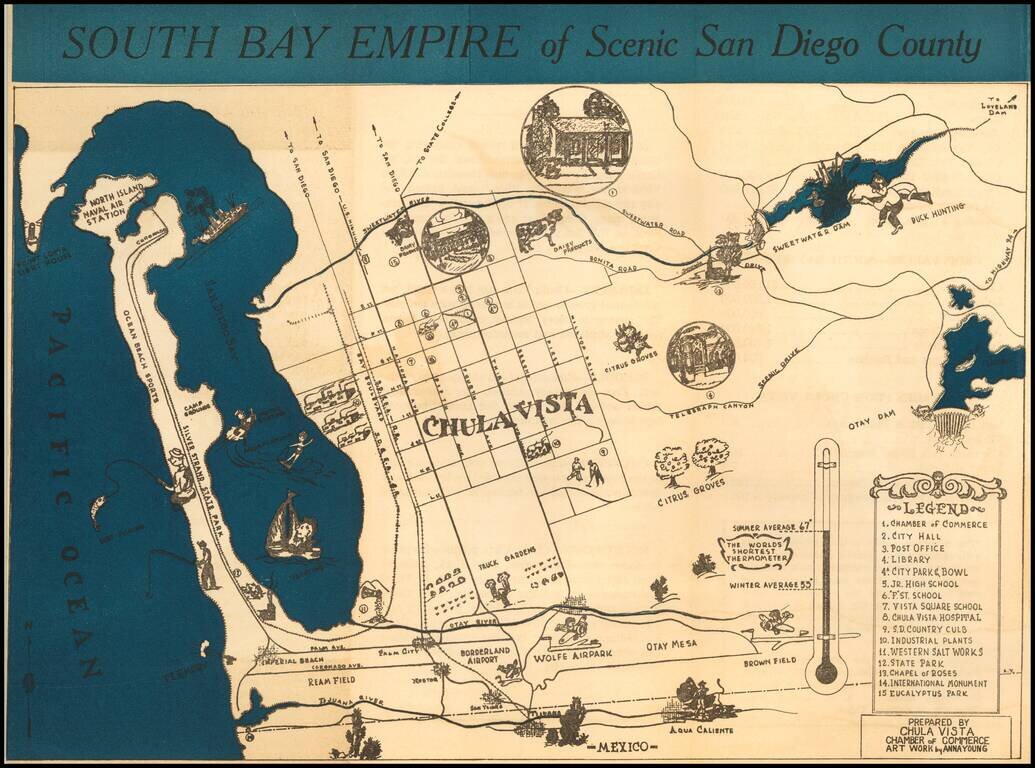
Rare promotional brochure map of San Diego's South Bay, drawn by Anna Young for the Chula Vista Chamber of Commerce. The map extends north to Point Loma and and the Sweetwater Dam area, centered on Chula Vista. Rarity The map is apparently very...
![[Restricted Military Map of San Diego] The City of San Diego Including The Cities of Chula Vista Coronado El Cajon La Mesa National City . . .](/map/small/69860.jpg)
Restricted Military Map of San Diego Restricted Armed Forces edition of this World War II era map of San Diego, published by the Automobile Club of Southern California. As noted below the map, the map was "issued for the exclusive use of the Armed...
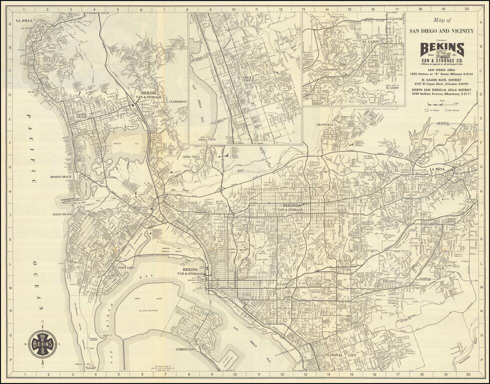
Detailed vintage map of San Diego, by the famous Bekins Van & Storage Co., published in 1958. The map shows Mission Bay before it was fully dredged and developed into the recreational area it is today. La Jolla has considerably more development...
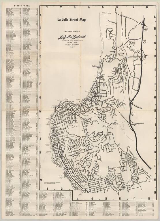
Early map of La Jolla, published by La Jolla Federal Savings. Early points of interest include: UC San Diego Revelle College Mt. Soledad Easter Cross Salk Institute Scripps Institute of Oceanography Spindrift Pitch & Putt (LJ Beach &...
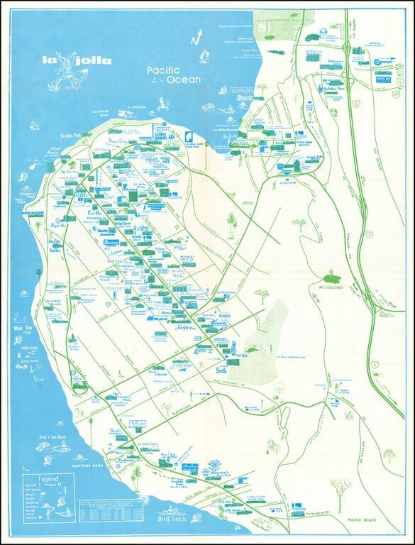
Rare separately issued map of La Jolla, California, published by the La Priscilla Publications of San Diego (Pacific Beach). The map locates dozens of businesses, with a legend noting Churches Golf Courses (including Torrey Pines) Schools...