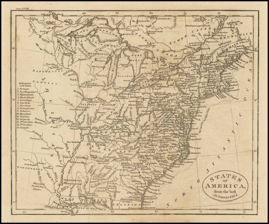
Detailed and fascinating map detailing states and Indian lands east of the Mississippi River from northern Florida to Canada. The map pre-dates Ohio and Mississippi Territory. Louisiana is shown, but the map would seem to predate Louisiana Territory.
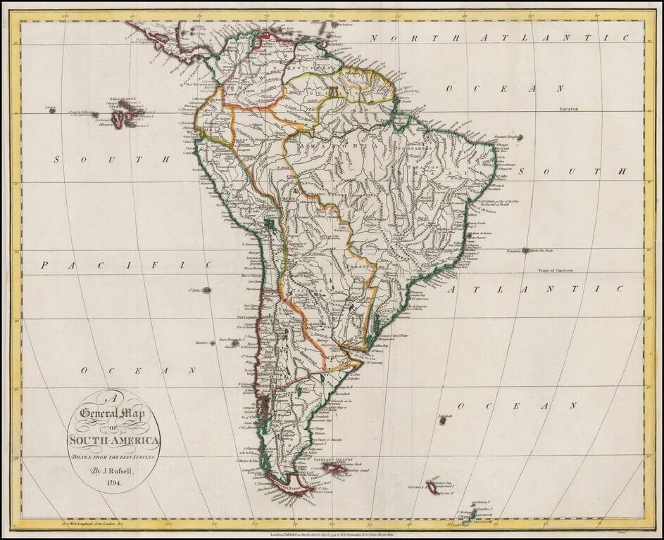
Nice example of Russell's map of South America, on the eve of its Century of Revolution.
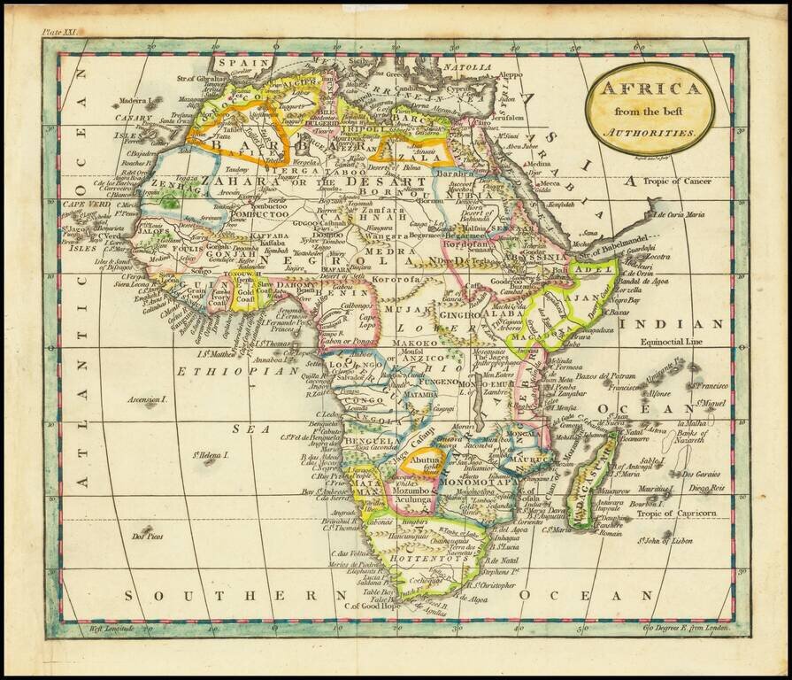
Attractive map of Africa, hand colored by regions. Illustrates the then limited knowledge of the interior of Africa, even at the end of the 18th Century.