logo

1794. A General Map of South America Drawn From the Best Surveys, 1794.

  • A General Map of South America Drawn From the Best Surveys, 1794.

A General Map of South America Drawn From the Best Surveys, 1794. information:

Year of creation: 
Resolution size (pixels): 
 1917x1562 px
Disk Size: 
 718527B
Number of pages: 
 1
Place: 
 London
Author: 

Print information. Print size (Width x height in inches):
Printing at 72 dpi 
  26.63 х 21.69
Printing at 150 dpi 
 12.78 х 10.41
Printing at 300 dpi 
 6.39 х 5.21

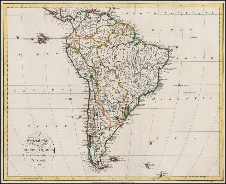
Nice example of Russell's map of South America, on the eve of its Century of Revolution.


Special conditions for students!

If you are a student, write to us in telegram: @antiquemaps and indicate what material you need and for what work you need a map in high detail. We are ready to provide material on special terms. For students only!

Item information:

Year of creation:
Size:
1917x1562 px
Disk:
718527B
Number of pages:
1
Place:
London
Author:
John Russell.
$9.99

Related item