Map size in jpg-format: 9328660B
Click to open in high resolution (open in new tab).
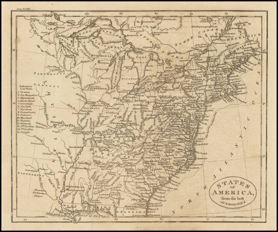
Detailed and fascinating map detailing states and Indian lands east of the Mississippi River from northern Florida to Canada.
The map pre-dates Ohio and Mississippi Territory. Louisiana is shown, but the map would seem to predate Louisiana Territory.
If you are a student, write to us in telegram: @antiquemaps and indicate what material you need and for what work you need a map in high detail. We are ready to provide material on special terms. For students only!

![[Signed Political Satire Artwork] Vietnam ... Vietnam ... Vietnam ...](/map/small/68726.jpg)
