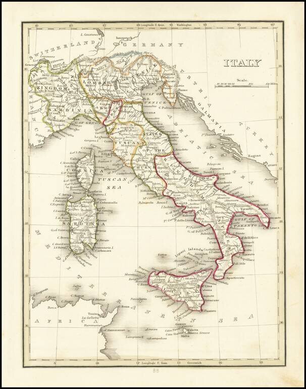
Thomas Gamaliel Bradford (1802-1887) was an American geographic publisher. He hailed from Bradford, Massachusetts and began his publishing career by working for the America Encyclopedia. Then, he edited and republished the Atlas Designed to Illustrate the Abridgement of Universal Geography, Modern & Ancient, which had originally been offered in French by Adrian Balbi. In 1835, he published another atlas, A Comprehensive Atlas: Geographical, Historical & Commercial, and, in 1838, An Illustrated Atlas Geographical, Statistical and Historical of the United States and Adjacent Countries. His interests were primarily in educational publishing and he was one of the first mapmakers to show Texas as an independent country.
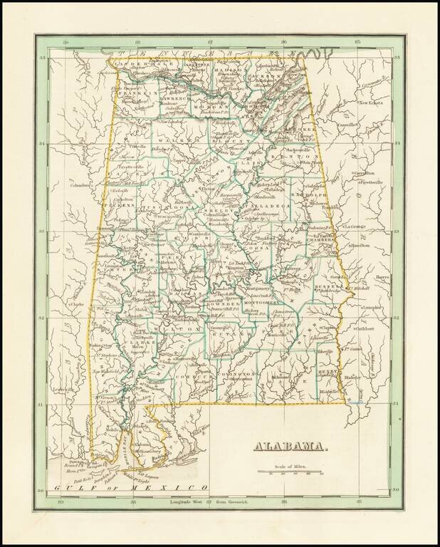
Fine example of this early map of the state of Alabama from Bradford's Comprehensive Atlas. Shows, counties, towns, rivers, etc.
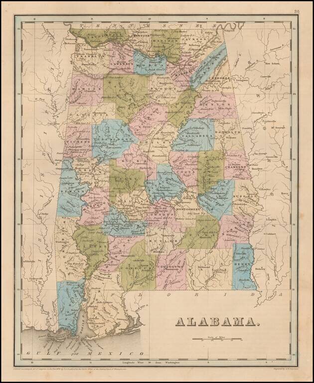
Nice example of Bradford's early map of Alabama. The map is hand colored by counties and shows very early railroads, towns, rivers, forts, post offices and other details. The second edition can be distiguished easily from the first edition by the use...
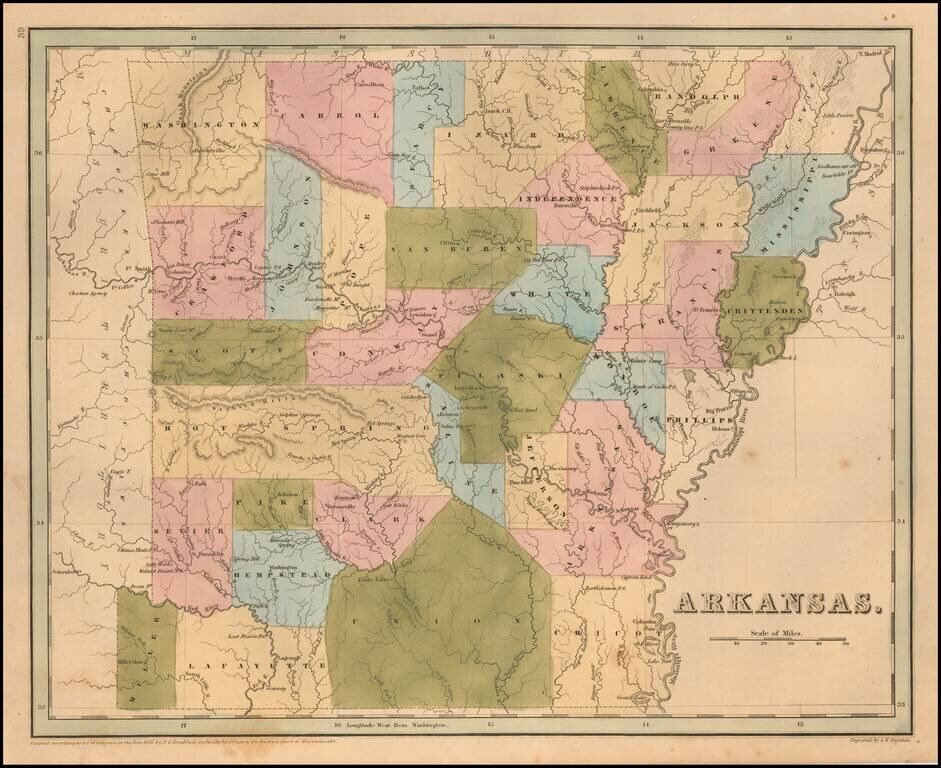
Rare late edition of Bradford's map of Arkansas. The map is hand colored by counties and shows very early railroads, towns, rivers, forts, post offices and other details. Bradford's atlas was a departure from other atlases of the period. Along with...
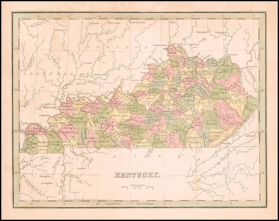
Rare full original color example of the first edition of Bradford's map of Kentucky.
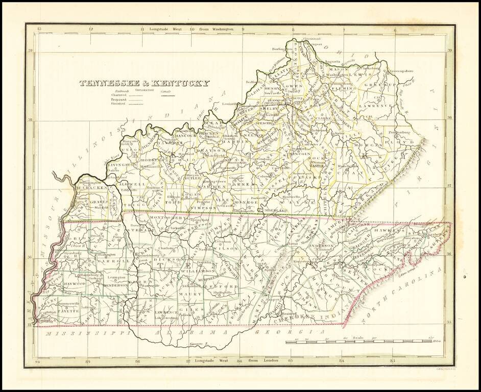
Early map of Kentucky & Tennessee, published by Bradford. Map shows counties in outline color.
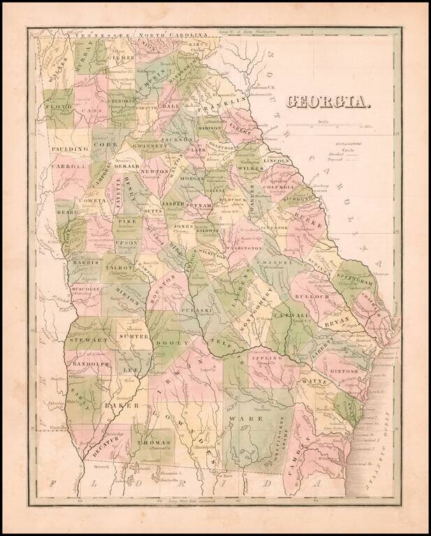
Rare full original color map of Georgia, from Bradford's Comprehensive Atlas. The map is colored by counties and shows towns, rivers, lakes, swamps, and other early points of interest. The Southern counties are still not complete. Bradford's...
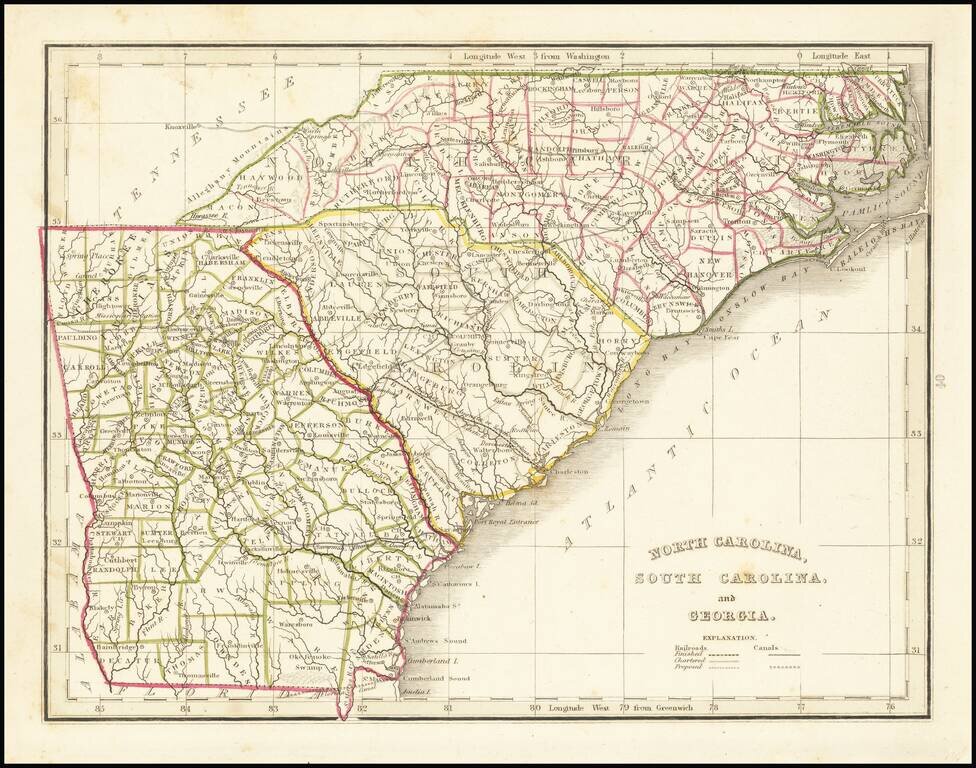
Scarce full original color map of Georgia and the Carolinas, from Bradford's Comprehensive Atlas. Shows counties, towns, rivers, and other details. Bradford's Comprehensive Atlas was one of the most successful commercial atlases of the 1830s, at a...
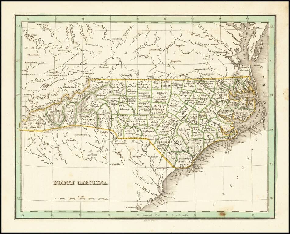
Nice example of this early map of the state of North Carolina from Bradford's Comprehensive Atlas. Shows counties, towns, rivers, etc.
![Texas [Republic of Texas]](/map/small/64088.jpg)
Nice example of the first edition of Bradford's large map of the Republic of Texas, first published in 1838. In 1835, Bradford issued a small map of the Texas shortly before it became a Republic. In 1838, Bradford issued his Illustrated Atlas, a much...
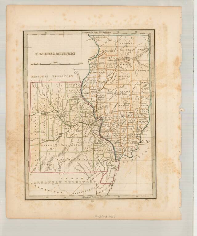
Scarce early map of Missouri & Illinois, also showing Arkansaw Territory to the South and Missouri Territory to the North. A number of early primitive counties still appear, especially in Missouri. Missouri has 38 counties, but lacks the Platte...
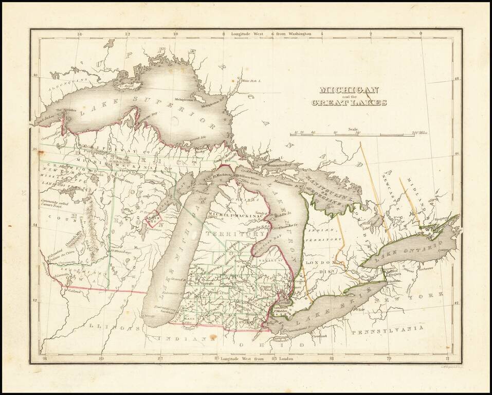
Nice example of this early map of Michigan Territory and adjoining regions (including what would become Wisconsin), published by S.A. Bradford. Michigan proper is shown with counties in the southern half, the north being Ottawa and Michilmackinac...
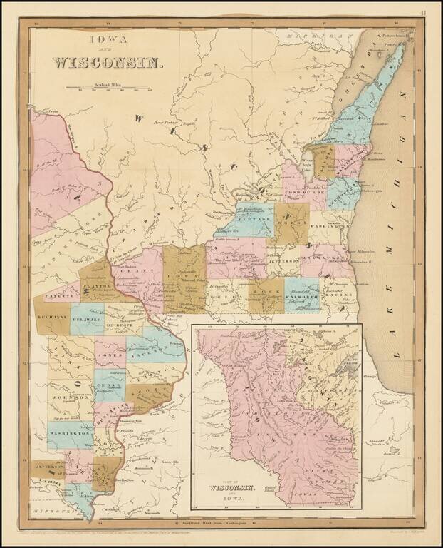
Early Antique Map of Iowa Territory and Wisconsin Territory Important early map of part of Iowa and Wisconsin, with large inset showing all of Iowa Territory and Wisconsin Territory extending to the Canadian Border. Iowa Territory was organized in...
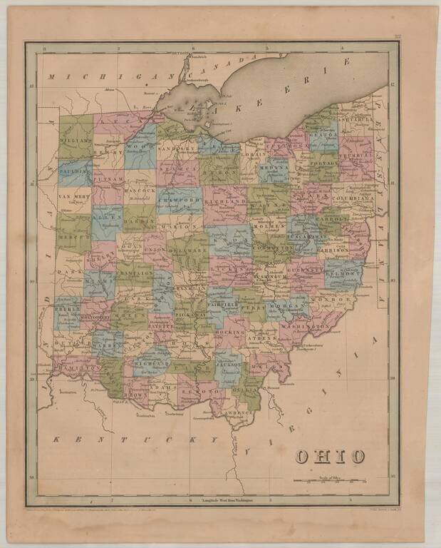
Interesting and detailed map of Ohio, from an early edition of Bradford's Atlas. The map is colored by counties and shows towns, rivers, lakes, roads and other important details.
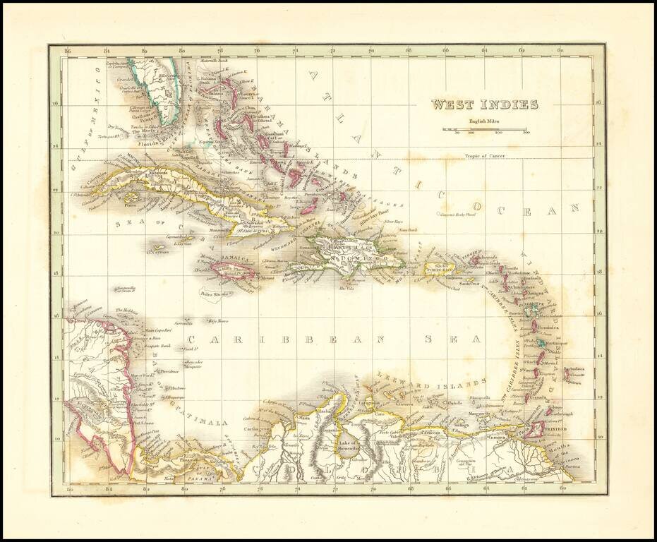
Detailed map of the Caribbean, Southern Florida, and a portion of Central America. Excellent details for a map of this size. Bradford's Comprehensive Atlas launched him as one of the prominent cartographic publishers of the period. This and his...