Map size in jpg-format: 9.85898MiB
Click to open in high resolution (open in new tab).
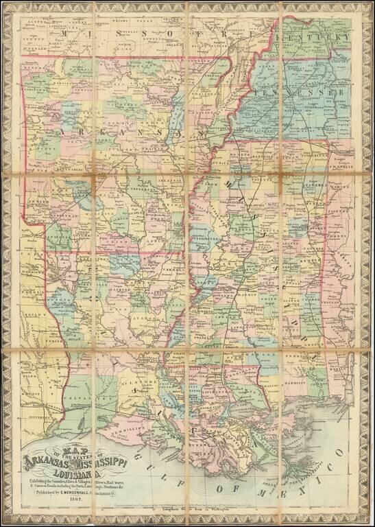
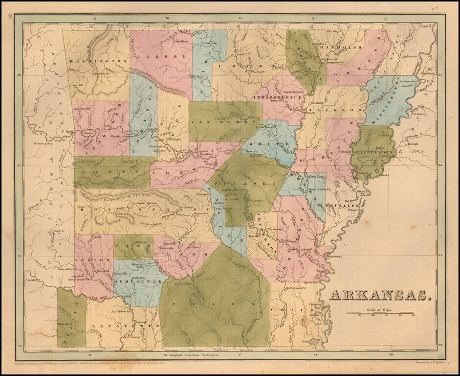
Rare late edition of Bradford's map of Arkansas.
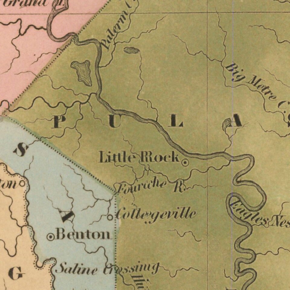
The map is hand colored by counties and shows very early railroads, towns, rivers, forts, post offices and other details. Bradford's atlas was a departure from other atlases of the period.
Along with HS Tanner, Bradford produced an elegant, well engraved large format atlas on high quality paper. The 1830s were a fascinating transitional period in the US and in domestic cartographic publishing. Bradford's work is without question an important part of this era.
The maps were engraved by GW Boynton or S.Stiles, Sherman & Smith.
Thomas Gamaliel Bradford (1802-1887) was an American geographic publisher. He hailed from Bradford, Massachusetts and began his publishing career by working for the America Encyclopedia. Then, he edited and republished the Atlas Designed to Illustrate the Abridgement of Universal Geography, Modern & Ancient, which had originally been offered in French by Adrian Balbi. In 1835, he published another atlas, A Comprehensive Atlas: Geographical, Historical & Commercial, and, in 1838, An Illustrated Atlas Geographical, Statistical and Historical of the United States and Adjacent Countries. His interests were primarily in educational publishing and he was one of the first mapmakers to show Texas as an independent country.
If you are a student, write to us in telegram: @antiquemaps and indicate what material you need and for what work you need a map in high detail. We are ready to provide material on special terms. For students only!