![[Rare Complete Example with Game Pieces] Grand Circuit Des Capitales. Collection Concours Du Chocolat Menier](/map/small/70922rd.jpg)
Fine promotional map for Menier Chocolat. This example is quite unusual, in that it includes the 120 game pieces at the bottom of the map, still attached. Most examples come w/o the game pieces. The Menier Chocolate company was a chocolate...
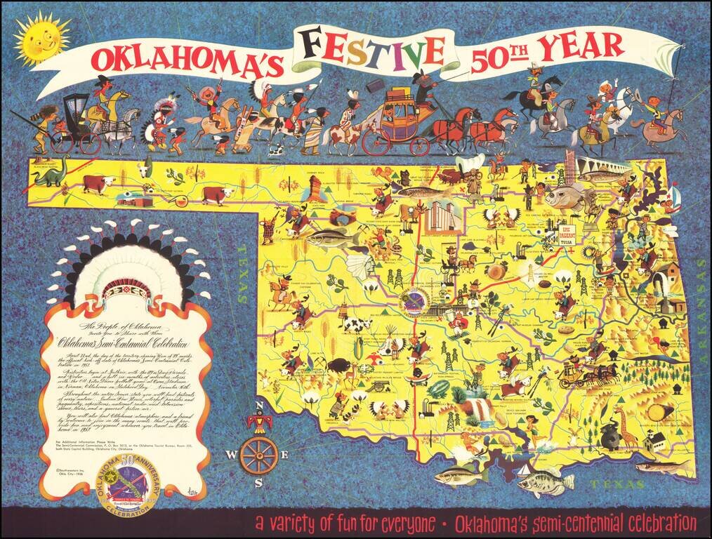
Rare Lowell Hess Pictorial Map Festive pictorial map of Oklahoma, celebrating the 50 year anniversary of Oklahoma Statehood, drawn by famed commercial illustrator Lowell Hess. The map is filled with colorful historical vignettes celebrating...
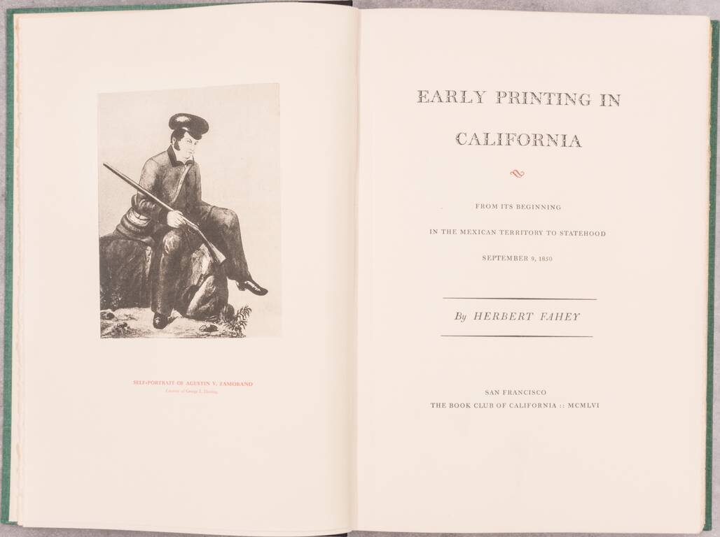
An indispensable California bibliography published by the Book Club of California.
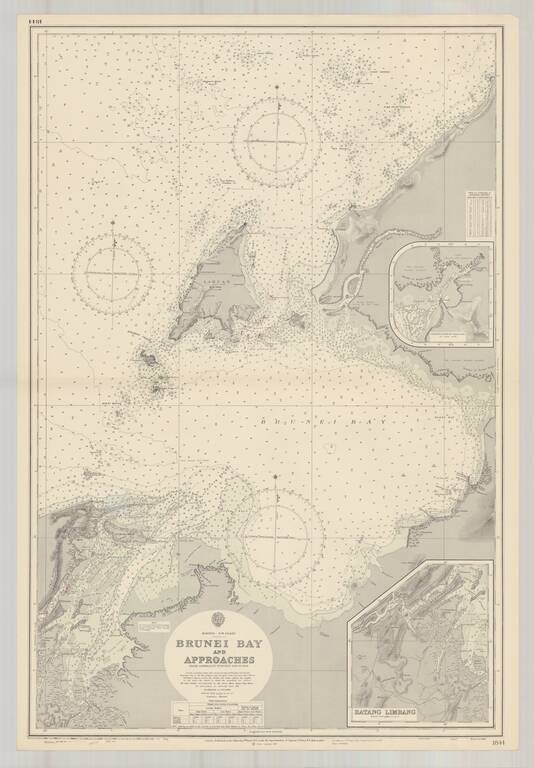
Finely executed harbor chart of the Bay of Brunei, published by the British Admiralty. Includes inset maps of Batang Limbang and the continuation of Padas Bay,
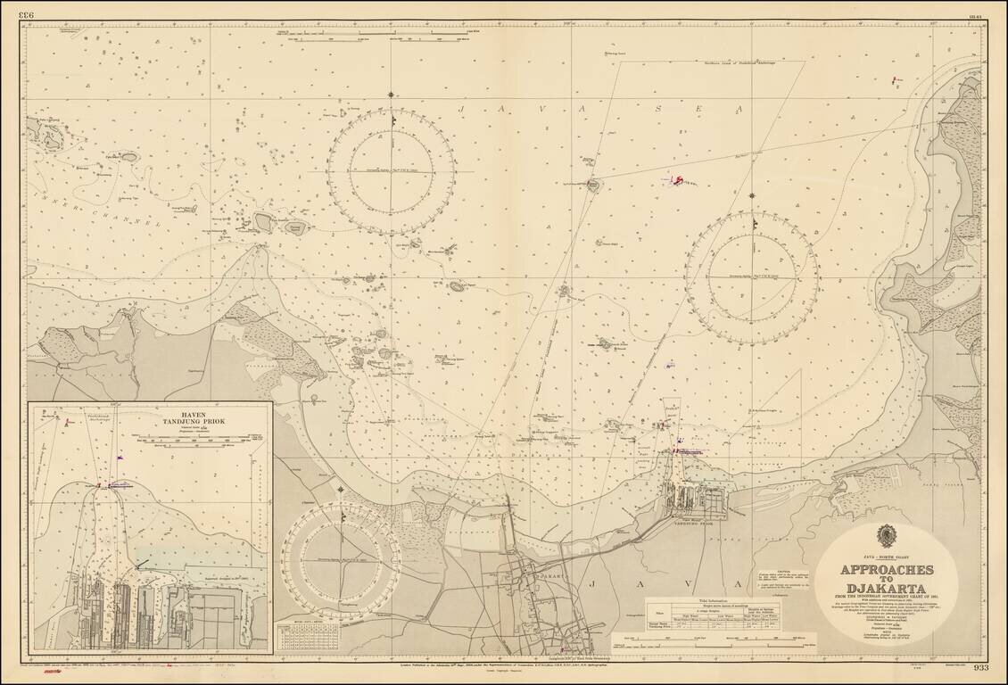
Fine large format map of the approaches to the Harbor of Jakarta, published by the British Admiralty, based on an Indonesian Chart published in 1956. Includes a large inset map of Haven Tandjung Priok.
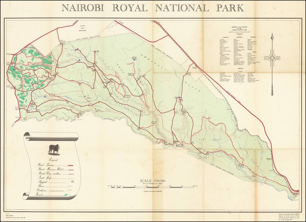
The Survey of Kenya's First Map of Nairobi Royal National Park The first map of Kenya’s first national park, Nairobi Royal National Park, documenting wildlife, topography, and roads. It was compiled and drawn in 1956, just ten years after the park...
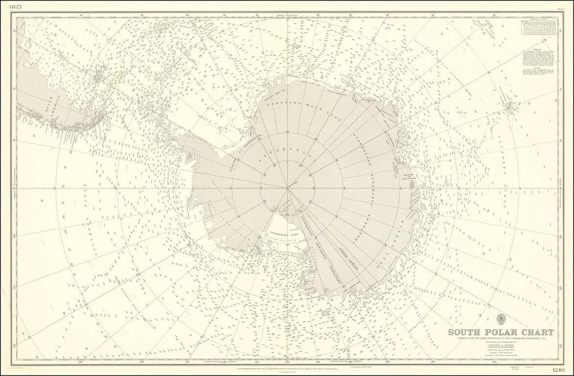
Rare and highly detailed map of the South Polar regions, published by the British Admiralty. The map incorporates information from the 1950 survey of the Antarctic Peninsula and the The Norwegian - British - Swedish Expedition (NBSAE) of 1949-52, the...