Map size in jpg-format: 53.4721MiB
Click to open in high resolution (open in new tab).
Rare Lowell Hess Pictorial Map
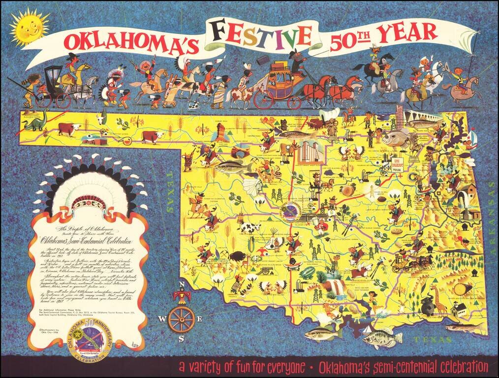
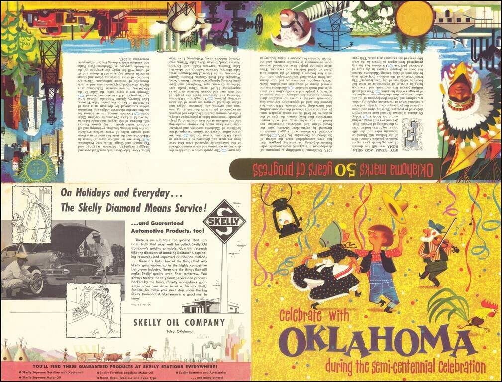
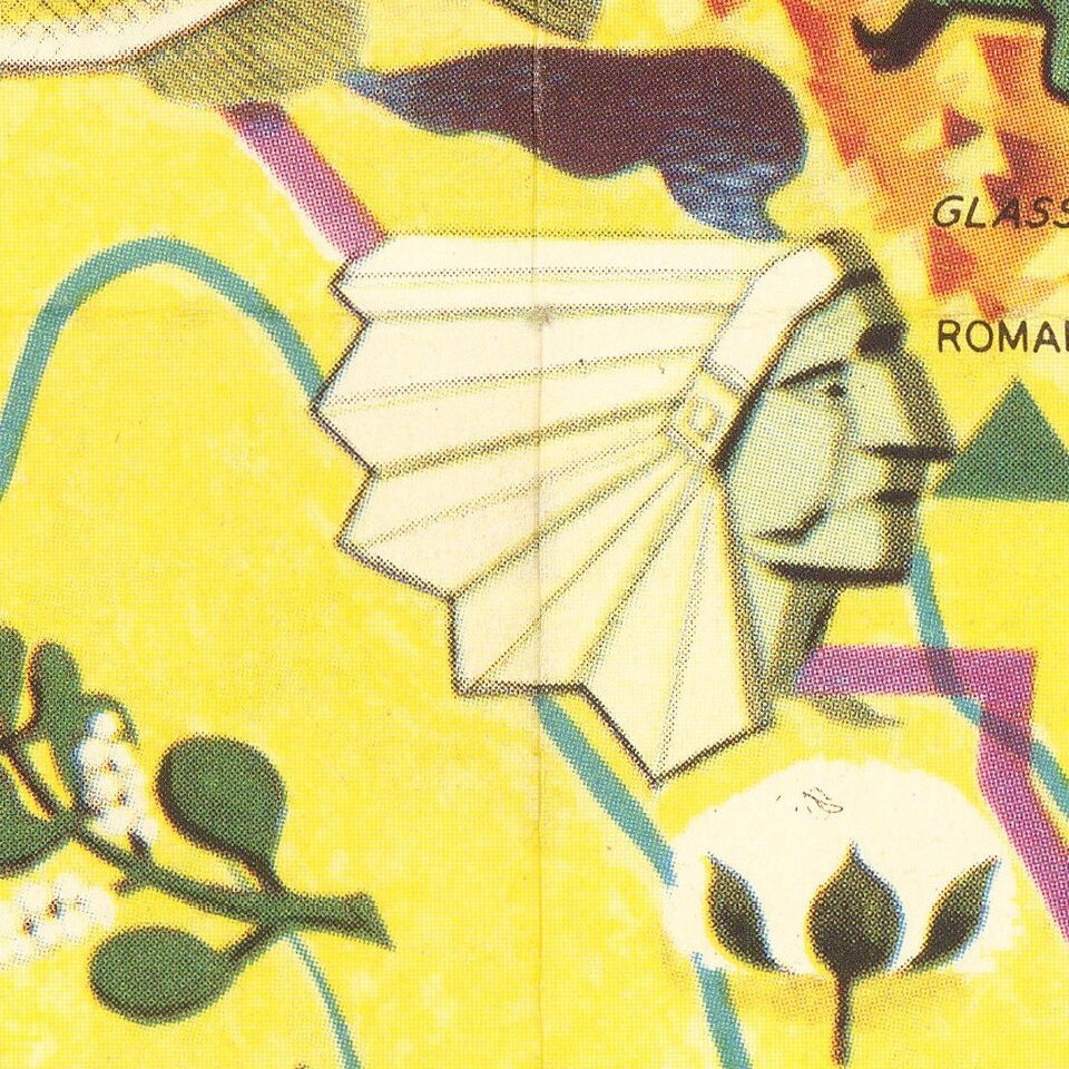
Festive pictorial map of Oklahoma, celebrating the 50 year anniversary of Oklahoma Statehood, drawn by famed commercial illustrator Lowell Hess.
The map is filled with colorful historical vignettes celebrating Oklahoma's history, monuments, recreation, festivals and other clever vignettes.
This is one of only a few maps by Hess, a native Oklahoman, who made his career as an illustrator for major American magazines. He is also credited with introducing a generation to science and exploration beginning with his work illustrating Exploring the Weather by Roy A. Gallant. Gallant's science writing and Hess's technical illustrations made a perfect match and together developed into a series of children's books on science and exploration. Hess also created a reproduction of Eugene Antoniadi's 1894 map of the canals of Mars in 1956, for the book Exploring Mars, by Roy A. Gallant. https://apod.nasa.gov/apod/ap031112.html
Lowell Hess
The following is excerpted from lowellhess.com:
Lowell Hess's art career has spanned 6 decades. After serving in World War II as a lieutenant in the US Army, this Oklahoma native attended the Pratt Institute in Brooklyn, NY. He subsequently worked as an illustrator in the heyday of magazine illustrations. His works were featured in many publications, including Collier's and Boy's Life. He also illustrated numerous book series including Golden Books.
Demonstrating the versatility of his craft, Lowell went on to design and illustrate pop-up greeting cards for Graphics 3, Inc. These cards incorporated a unique design feature that Lowell pioneered using rubber bands as the pop-up mechanism. Lowell and Graphics 3, Inc., have produced greeting cards for more than 25 years. In the 1990's, Lowell undertook yet another creative endeavor. He began creating whimsical wood-carvings, continuing his humorous vision in a new medium.
Lowell's design and handiwork extended to his creating reproductions of colonial furniture for his 1672-built New England saltbox home.
Rarity
We located a single example of the map (Oklahoma State University).
If you are a student, write to us in telegram: @antiquemaps and indicate what material you need and for what work you need a map in high detail. We are ready to provide material on special terms. For students only!


