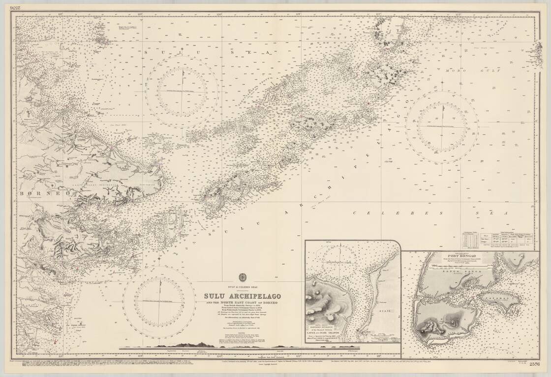
Detailed map of the Sulu Archipelago, with insets of Port Bongao, and the Tapul Group Entrance between Lapak and Siasi Islands,
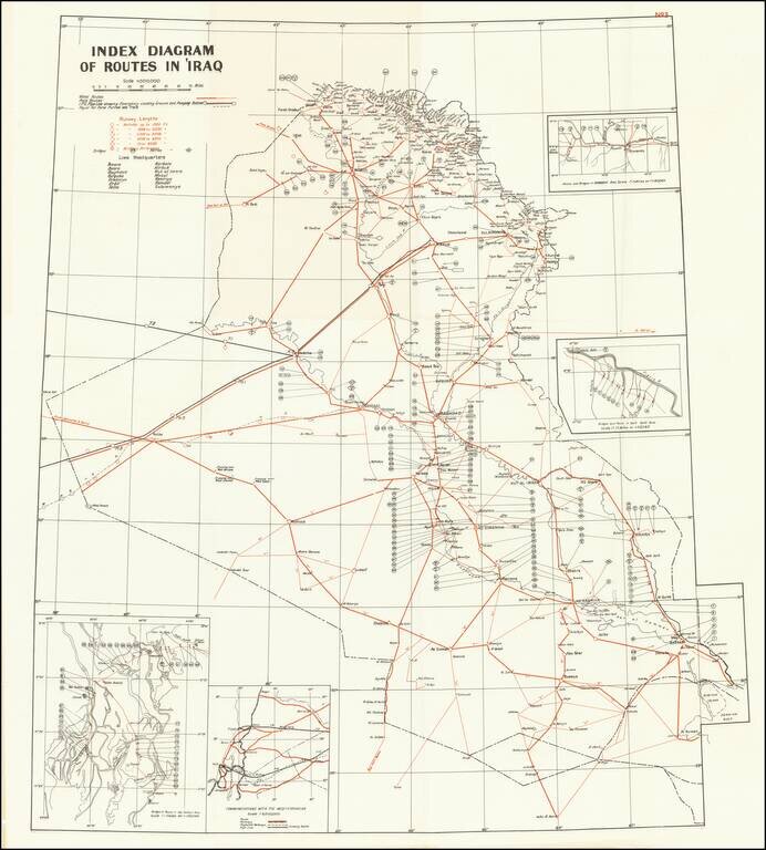
A detailed map of Iraq, produced shortly after the country's independence in 1932. The map shows routes, runways, and military installments, and was likely used in part for military purposes. Three insets detail bridges and routes in specific areas and...