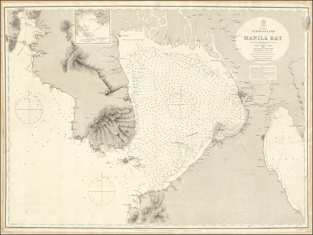
One of the Largest Obtainable English Language Maps of Manila Bay Highly detailed chart of the Bay of Manila, published by the British Hydrographical Survey. The map is a remarkably detailed work, based upon the Spanish Philippine Hydrographical...
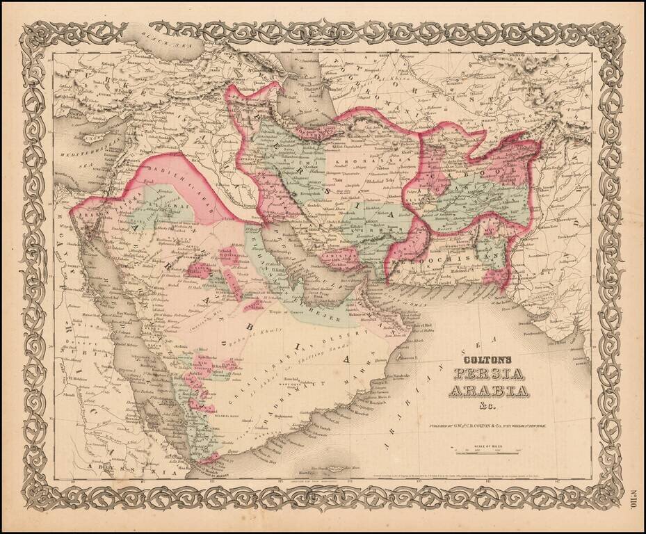
Detailed map of the Middle East, colored by Tribes, etc. Shows towns, roads, deserts, rivers, lakes, mountains, islands, etc. A terrific regional map, from JH Colton, one of the most prolific American mapmakers of the mid-19th Century.
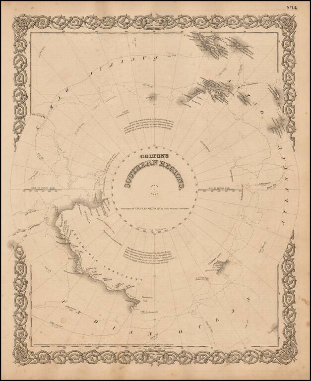
Detailed map of the South Polar Region, published by GW & CB Colton. The map shows in detail the land masses discovered to date, along with the Tracts of the Wilkes, Bellinghausen, Kemp, Ross and Cook Voyages, landfalls, etc.