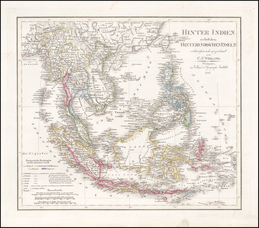
Scarce and highly detailed map of Southeast Asia, including southern China, the Philippines, the Malaysian Peninsula and extending south to Java, Timor and the northern tip of Australia. Includes rivers, some early roads, towns, topographical details,...
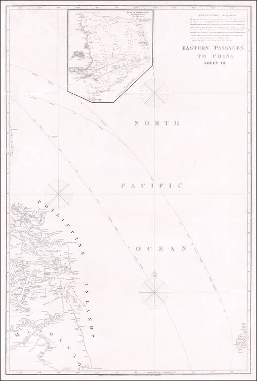
Rare Early Philippine Sea Chart Detailed sea chart showing most of the Philippines, with a large inset map of Manila Bay, including an extensive set of Explanatory Remarks. The need for more accurate charts was forcibly brought home to James...
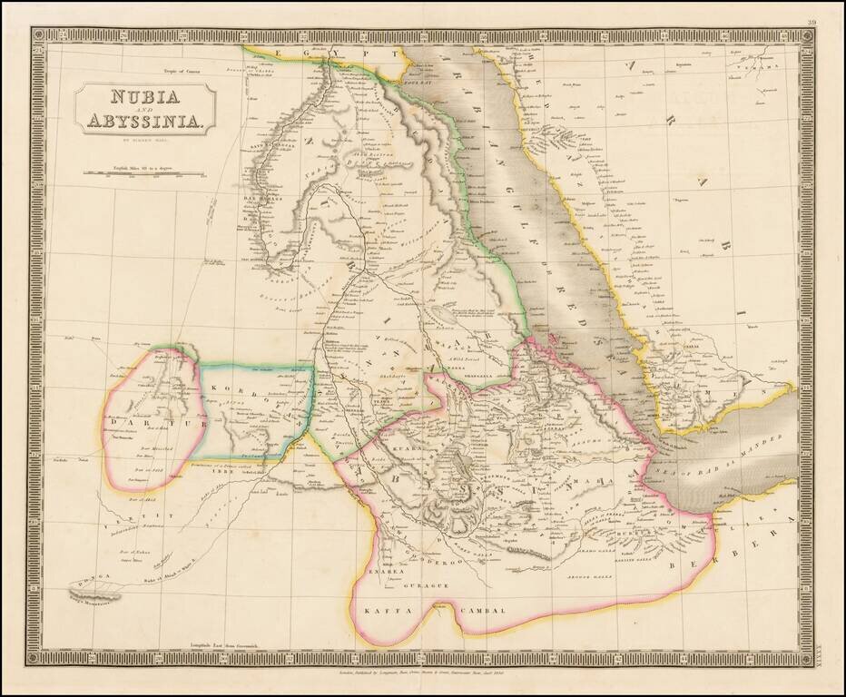
Decorative map of Nubia, Abyssinia and the Arabian Sea, published in London by Sidney Hall. Excellent detail. Includes towns, roads, annotations and other fine details.
![[Micronesia- Marianas - Marshall Islands - Gilbert Islands] Carte de l'Archipel des Iles Carolines](/map/small/69190.jpg)
Large detailed map of the archipelago of the Caroline Islands located in Micronesia, engraved by Ambroise Tardieu and included in the official account of the Commander Duperrey during the expedition of the corvette La Coquille . The map also covers...