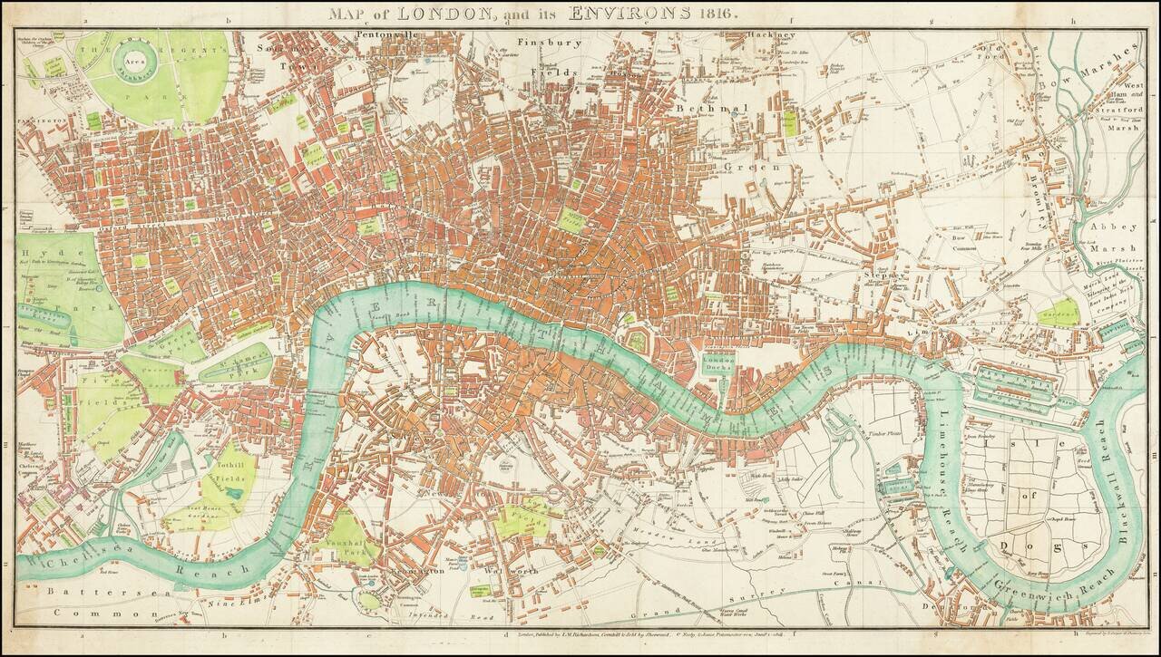
Fine large format map of London, originally published in 1813. The map stretches from Hyde Park in the west to the East India Docks. Parks are shown in green with the urban areas in red.
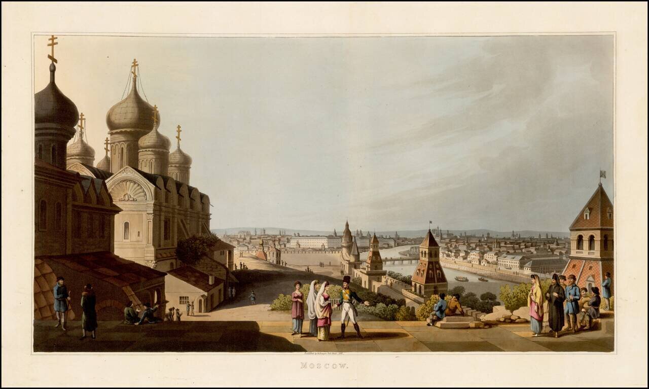
Fine colored acquatint view of Moscow, published by Robert Bowyer in London in 1816, from An Illustrated Record of Important Events in the Annals of Europe, During the Years 1812, 1813, 1814 & 1815, Comprising a series of Views of Paris, Moscow,...
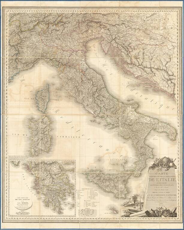
Fine example of this decorative wall map of Italy, published by Orgiazzi in Paris. The map extends from Monaco to Otranto and from The Alps to Malta, with an inset map of Greece. Decorative cartouche illustrates Rome's classical history.
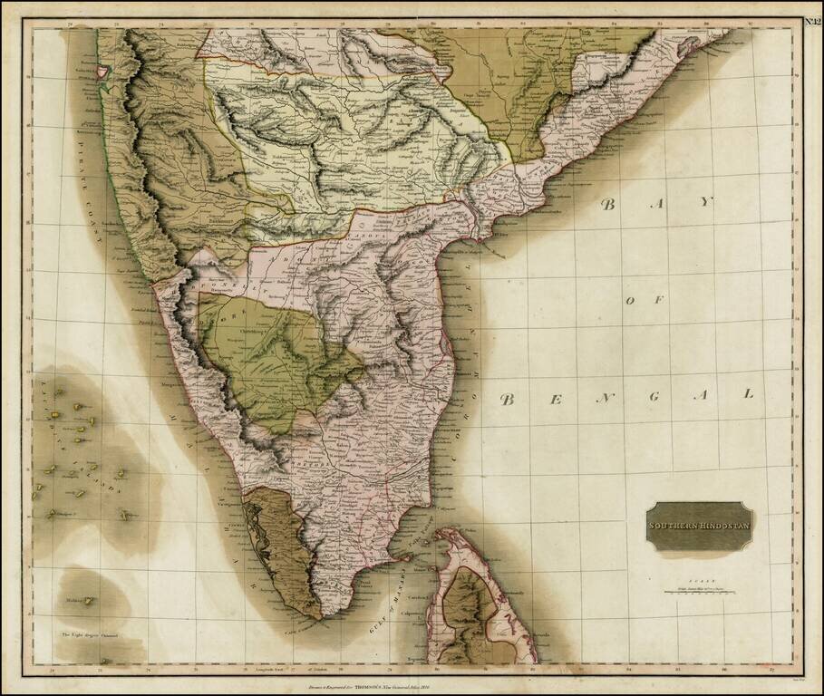
Fine old color example of Thomson's regional map of India, extending from Arungabad, Mahoor and Cicacole in the North, to the southern tip of India, including most of Celyon. Highly detailed, showing provinces, towns, roads, rivers, lakes, mountains,...
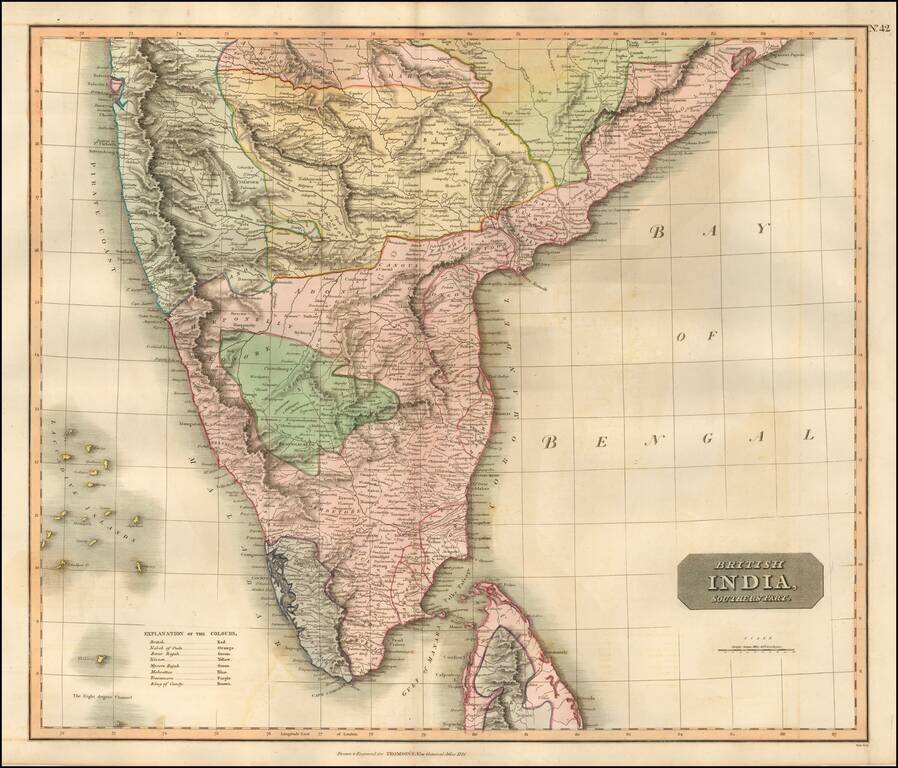
Nice example of Thomson's map of the Southern Part of India and Sri Lanka. Detailed regional map of India, extending from Arungabad, Mahoor and Cicacole in the North, to the southern tip of India, including most of Sri Lanka. The map shows provinces,...