Map size in jpg-format: 66.0586MiB
Click to open in high resolution (open in new tab).
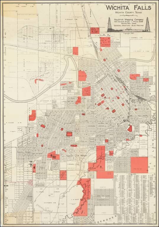
Large folding map of Wichita Falls, Texas, published in Wichita Falls in 1940 by the Heydrick Mapping Company.
In the south the map extends below what is now Midwestern State University. In the north, the map extends about as far as the Highway 44-287 Interchange.
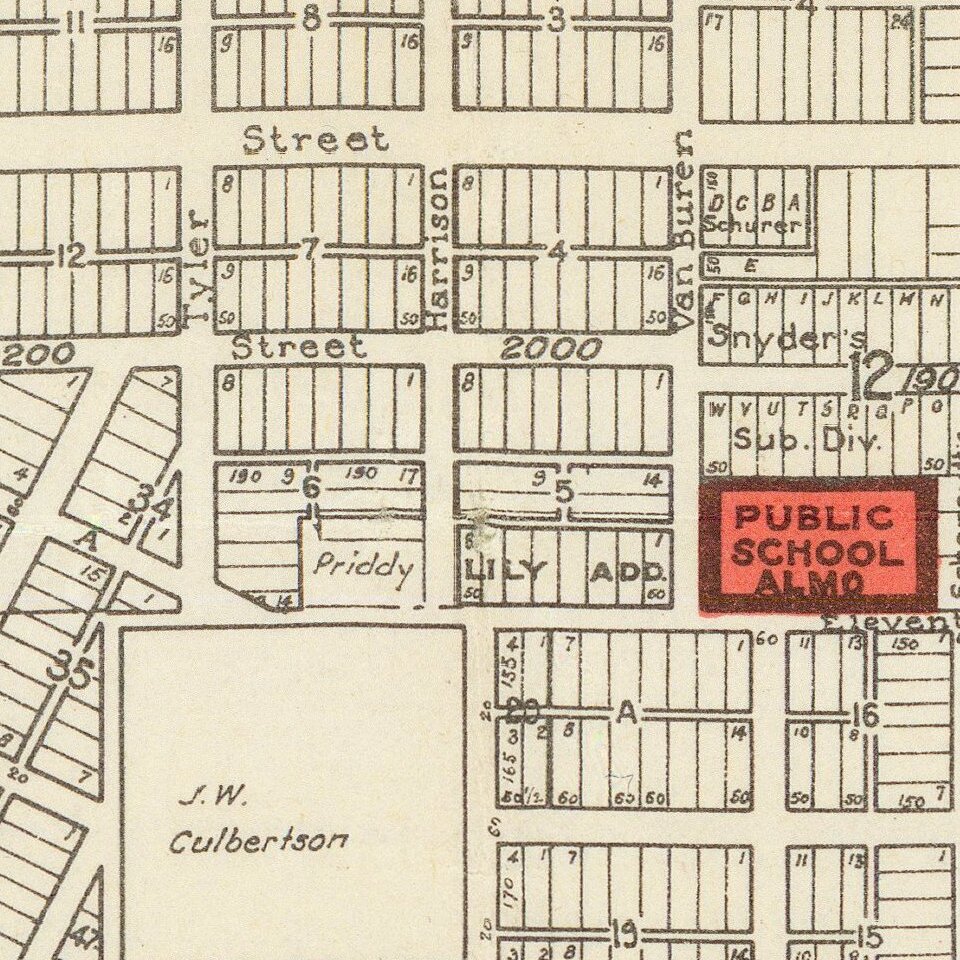
Public buildings and land, parks, and noteworthy businesses are colored in red.
Probably the most noteworthy aspect of the map is its great oil derrick cartouche - oil having been an integral part of the local economy since its discovery in 1912.
If you are a student, write to us in telegram: @antiquemaps and indicate what material you need and for what work you need a map in high detail. We are ready to provide material on special terms. For students only!


