logo

1868. Vereinigte Staaten von Nord-Amerika

  • Vereinigte Staaten von Nord-Amerika

Vereinigte Staaten von Nord-Amerika information:

Year of creation: 
Resolution size (pixels): 
 10396x8507 px
Disk Size: 
 27.7066MiB
Number of pages: 
 1
Place: 
 Glogau
Author: 

Print information. Print size (Width x height in inches):
Printing at 72 dpi 
  144.39 х 118.15
Printing at 150 dpi 
 69.31 х 56.71
Printing at 300 dpi 
 34.65 х 28.36

An example of detailing the file of this map of in a printable high-resolution:

Click to open in high resolution (open in new tab).
Attention! this is just the central piece (central area 960x960 px) of the map file!
This is an example, so that you can see and study the level of detail of a given map. The entire Map will be fully available after payment!

Vereinigte Staaten von Nord-Amerika

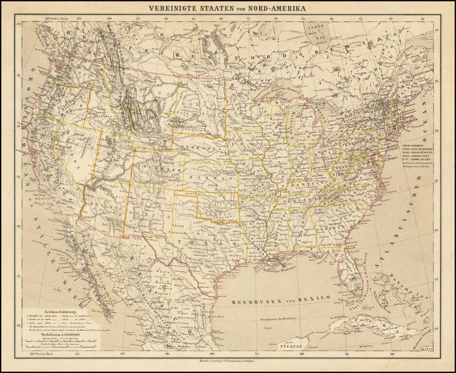
Detailed map of the United States, shortly after the conclusion of the American Civil War.

Montana, Wyoming and Idaho are now clearly and accurately delineated as counties, with only Dakota Territory not yet in its final configuration.

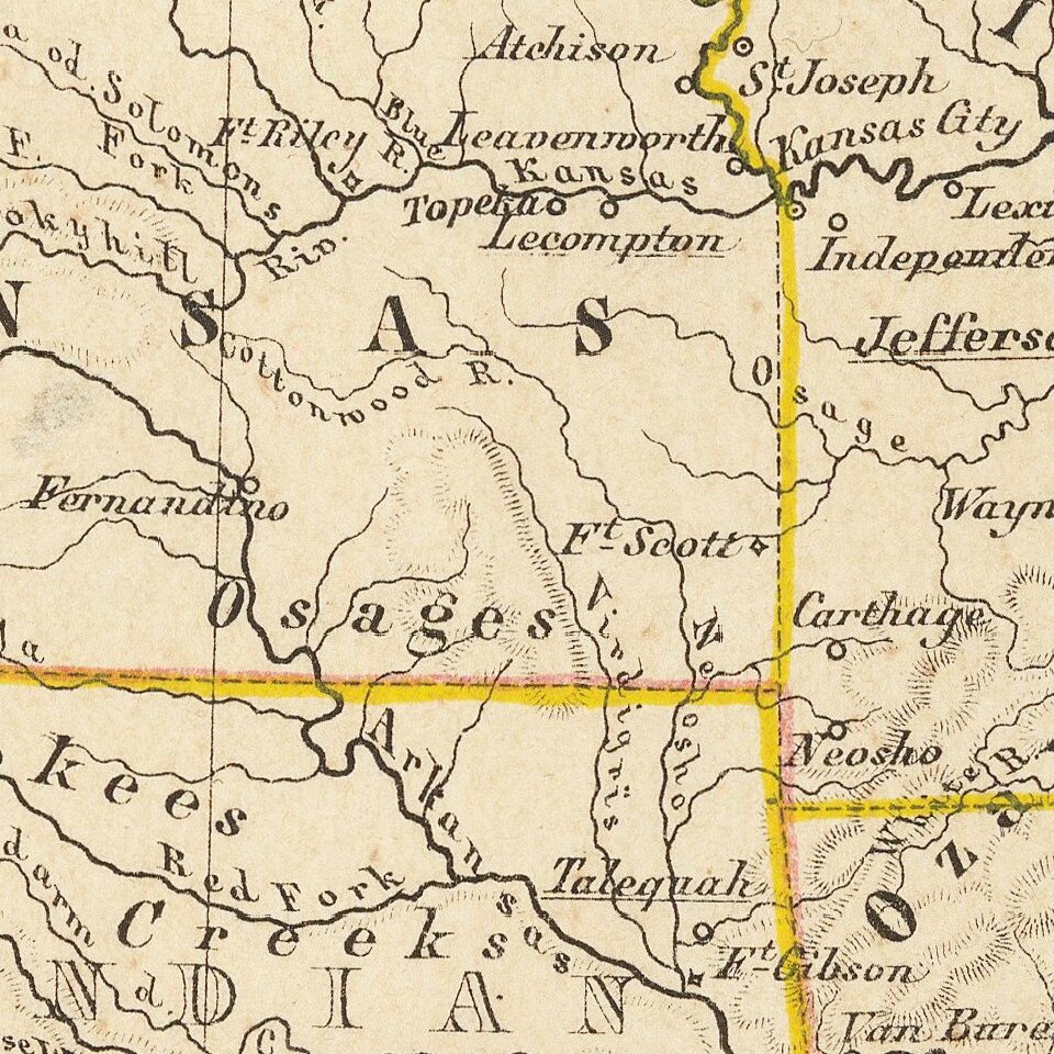
The map provides an exceptionally detailed treatment of the topography of the West, Indian tribal locations American Forts, etc.

From a scarce late edition of Flemming's Atlas.


Special conditions for students!

If you are a student, write to us in telegram: @antiquemaps and indicate what material you need and for what work you need a map in high detail. We are ready to provide material on special terms. For students only!

Item information:

Year of creation:
Size:
10396x8507 px
Disk:
27.7066MiB
Number of pages:
1
Place:
Glogau
Author:
Carl Flemming.
$14.99

Related item