Map size in jpg-format: 20.5749MiB
Click to open in high resolution (open in new tab).
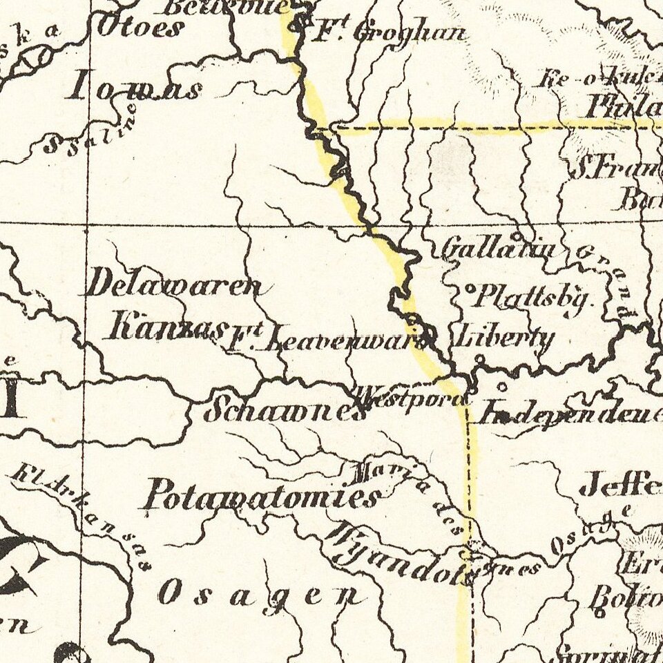
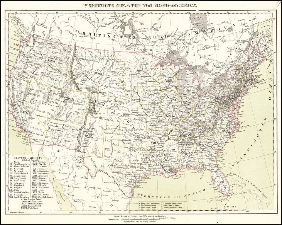
Nice example of Flemming's map of the United States, exhibiting in fabulous detail the early US territorial borders, Indian Districts, Forts, early routes of the Transmississippi explorers and other details.
any Indian tribes, forts, missions, roads, and other details. Includes a very unusual tomahawk shaped Indian Territory and massive Minisotah and Missouri Territories. Excellent topographical details, some real, some conjecture.
Pre-Gadsden Purchase atlas map, which predates the split of Oregon Territory into Oregon and Washington, but shows both Utah and New Mexico, indicating that it was issued sometime around 1850.
If you are a student, write to us in telegram: @antiquemaps and indicate what material you need and for what work you need a map in high detail. We are ready to provide material on special terms. For students only!

![[Signed Political Satire Artwork] Vietnam ... Vietnam ... Vietnam ...](/map/small/68726.jpg)
