Map size in jpg-format: 2.56215MiB
Click to open in high resolution (open in new tab).
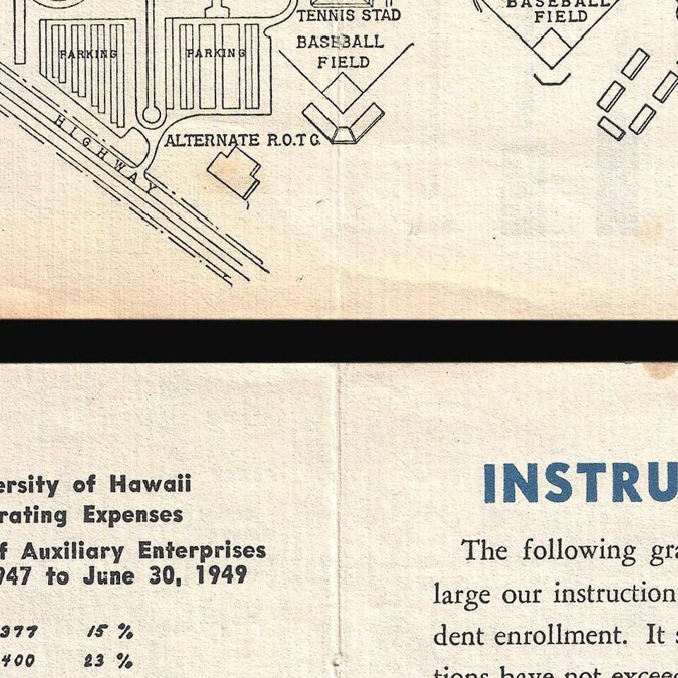
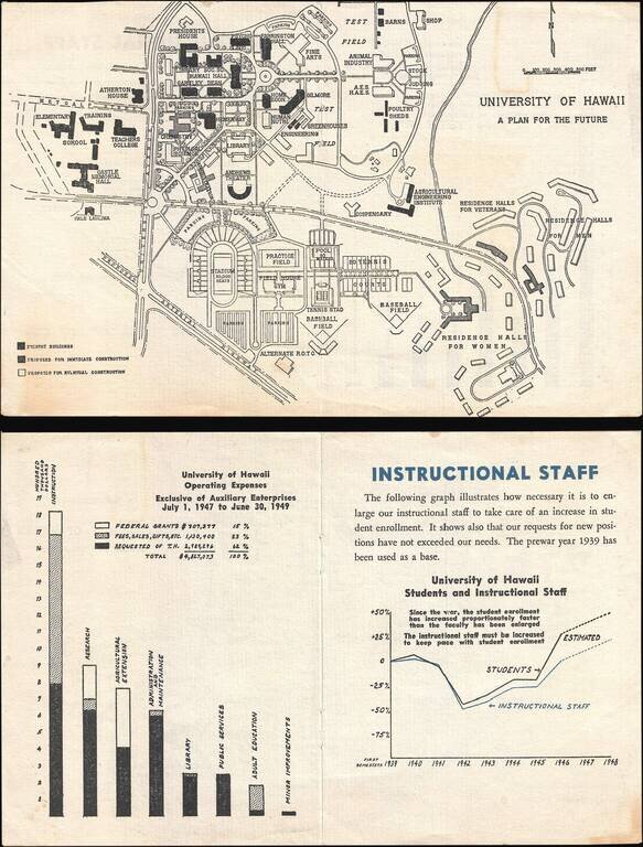
This is a 1946 University of Hawaii map of the Mānoa campus highlighting proposed building projects. Because of the G.I. Bill, which was passed in 1944, American servicemen returning from World War II could pursue higher education at American universities for free. This meant that the number of students at American universities increased exponentially, leading many to begin expansion projects. Centered near the intersection of University Avenue and Dole Street, buildings highlighted in black were the structures that made up the campus as of 1946. The gray buildings are structures that the university is proposing need to be built immediately, to accommodate the post-war surge in attendance, and the white buildings are included in the plan as eventual expansion projects.. Today, it appears that only the Andrews Theater, Farrington Hall (which has been renamed Webster Hall), and the Teacher's College buildings are the only remnants of the campus as it was in 1946. Much of the proposed construction did not take place as it was proposed here, as the current campus configuration only marginally resembles this proposal. The verso content addresses funding this building expansion and expanding the instructional staff at the University of Hawaii. One graph indicates how the university's operating expenses are divided, while another illustrates how the student body and staff have declined an increased between 1939 and 1946, along with the estimated increase in student attendance because of the G.I. Bill. This map was published by the University of Hawaii in 1946 most likely as material used to meet fundraising goals.
If you are a student, write to us in telegram: @antiquemaps and indicate what material you need and for what work you need a map in high detail. We are ready to provide material on special terms. For students only!
![Map of Mexico, Central America, and the West Indies [Insets of Bermuda, Sandwich Islands, Jamaica and Panama Railroad]](/map/small/69133.jpg)