Map size in jpg-format: 1.11238MiB
Click to open in high resolution (open in new tab).
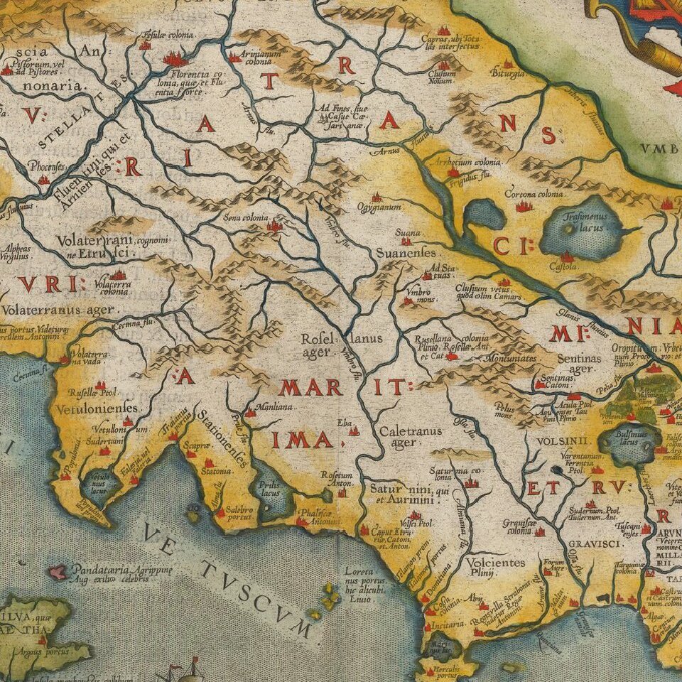
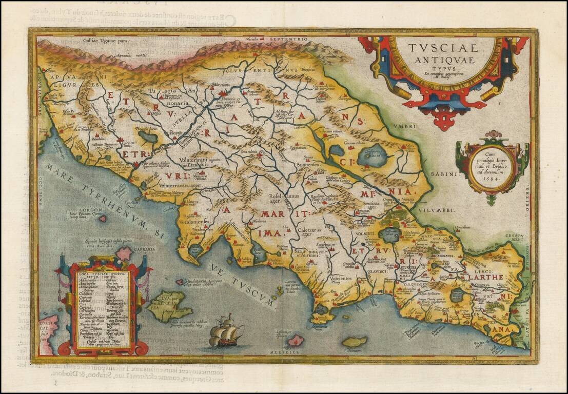
Fine early map of the Etruscan regions of Italy, centered on Florence and the Arno River, which first appeared in 1584, and was revised in a second plate (the present example) starting in 1595.
A number of islands shown off the coast. Includes a sailing ship and 3 large cartouches.
If you are a student, write to us in telegram: @antiquemaps and indicate what material you need and for what work you need a map in high detail. We are ready to provide material on special terms. For students only!


