logo

1915. Thurston's Auto - Highway , Mountain and Desert Map Showing Towns, Railways, and Waterholes Between Grand Canyon, Williams, Prescott, Barstow, Riverside, San Bernardino, San Diego, Yuma and Phoenix . . .

  • Thurston's Auto - Highway , Mountain and Desert Map Showing Towns, Railways, and Waterholes Between Grand Canyon, Williams, Prescott, Barstow, Riverside, San Bernardino, San Diego, Yuma and Phoenix . . .
  • Thurston's Auto - Highway , Mountain and Desert Map Showing Towns, Railways, and Waterholes Between Grand Canyon, Williams, Prescott, Barstow, Riverside, San Bernardino, San Diego, Yuma and Phoenix . . .

Thurston's Auto - Highway , Mountain and Desert Map Showing Towns, Railways, and Waterholes Between Grand Canyon, Williams, Prescott, Barstow, Riverside, San Bernardino, San Diego, Yuma and Phoenix . . . information:

Year of creation: 
Resolution size (pixels): 
 16660x10491 px
Disk Size: 
 36.4551MiB
Number of pages: 
 2
Place: 
 Pasadena, CA
Author: 

Print information. Print size (Width x height in inches):
Printing at 72 dpi 
  231.39 х 145.71
Printing at 150 dpi 
 111.07 х 69.94
Printing at 300 dpi 
 55.53 х 34.97

An example of detailing the file of this map of in a printable high-resolution:

Click to open in high resolution (open in new tab).
Attention! this is just the central piece (central area 960x960 px) of the map file!
This is an example, so that you can see and study the level of detail of a given map. The entire Map will be fully available after payment!

Thurston's Auto - Highway , Mountain and Desert Map Showing Towns, Railways, and Waterholes Between Grand Canyon, Williams, Prescott, Barstow, Riverside, San Bernardino, San Diego, Yuma and Phoenix . . .

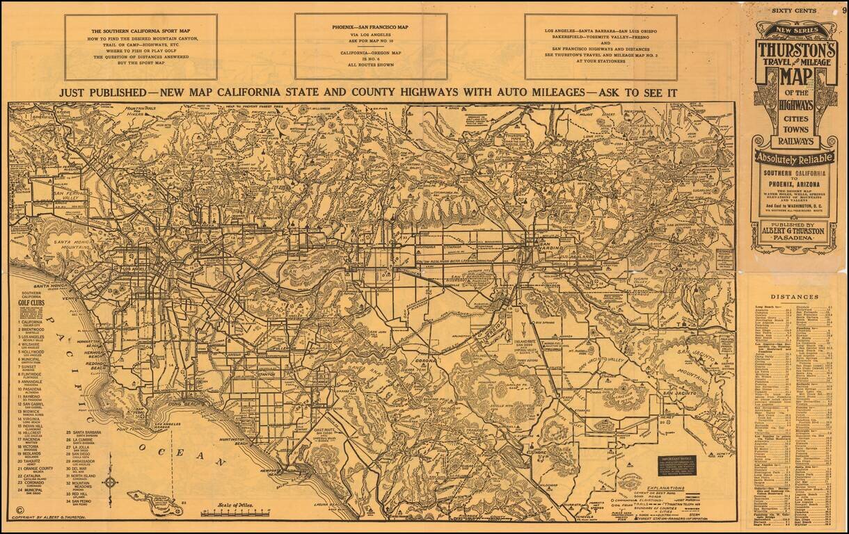
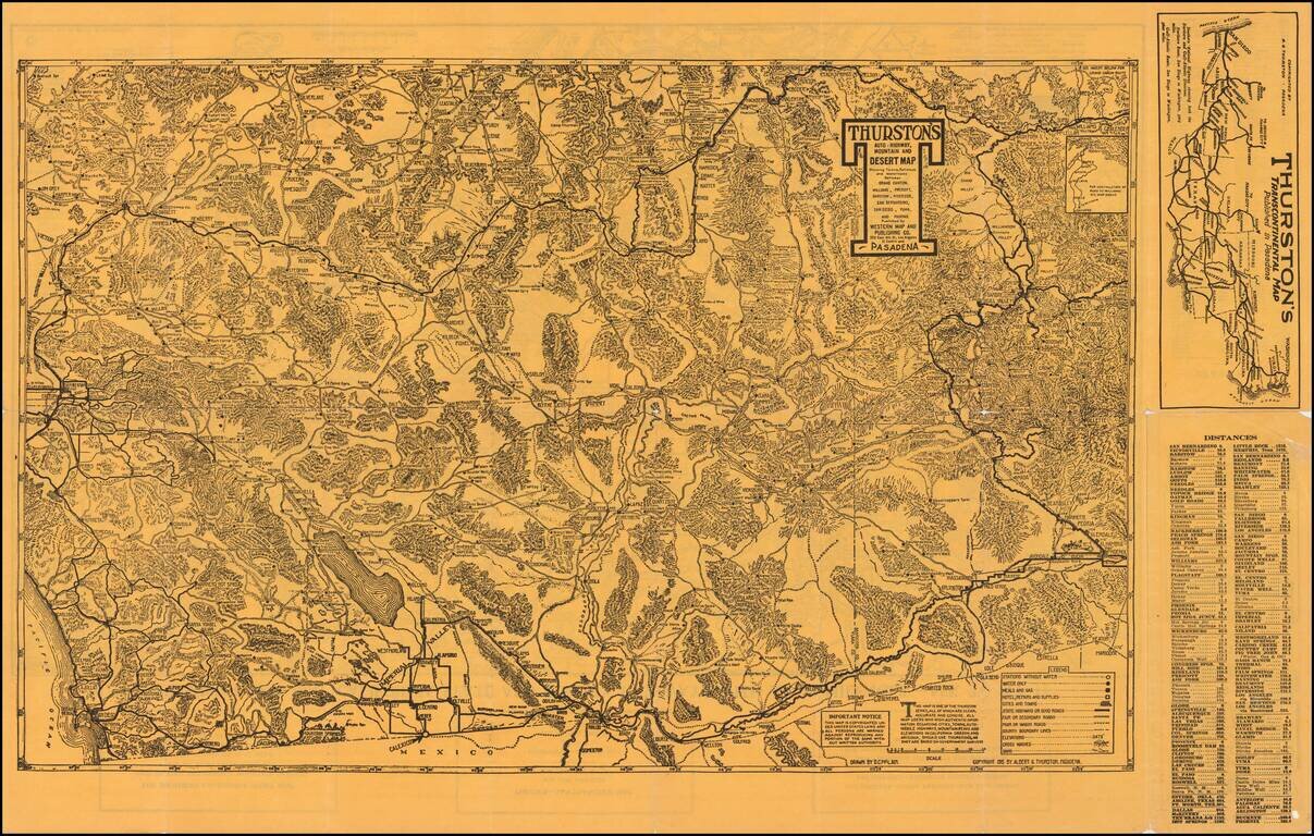
An Early Road Map of the Southwest

Fantastic early automobile map of the Desert Regions between Southern California and Phoenix, published in 1915 by Albert G. Thurston and drawn by D.C. McClain.

The desert map is quite extraordinary, providing a blend of topographical, highway and other details at a time when the Automobile map was a nascent artform, reliant upon other map traditions and sources.

The map is exceptional in its treatment of the small towns, mining regions and other curious places which thrived western Arizona, Southern Nevada and the Desert regions of Southern California in the late 19th and early 20th Century, at a time when automobile travel was still in its infancy. The legend brings to bear the nascency of this form of travel, locating:

  • Stations without water
  • Water only
  • Meals and Gas
  • Hotel, Repairs, and Supplies
  • Cities and Towns
  • State Highways or Good Roads
  • Fair or Secondary Roads
  • Poor or Wagon Roads
  • County Boundary Lines
  • Elevations
  • Gross Washes
  • Sand

The present map is extremely rare. We were unable to locate any other examples of the map.


Special conditions for students!

If you are a student, write to us in telegram: @antiquemaps and indicate what material you need and for what work you need a map in high detail. We are ready to provide material on special terms. For students only!

Item information:

Year of creation:
Size:
16660x10491 px
Disk:
36.4551MiB
Number of pages:
2
Place:
Pasadena, CA
Author:
George H. Rock.
$14.99

Related item