logo

1897. The World In Hemispheres Projected on the Plane of a Meridian By W. Hughes, F.R.G.S.

  • The World In Hemispheres Projected on the Plane of a Meridian By W. Hughes, F.R.G.S.

The World In Hemispheres Projected on the Plane of a Meridian By W. Hughes, F.R.G.S. information:

Year of creation: 
Resolution size (pixels): 
 40794x21395 px
Disk Size: 
 211.671MiB
Number of pages: 
 1
Place: 
 London
Author: 

Print information. Print size (Width x height in inches):
Printing at 72 dpi 
  566.58 х 297.15
Printing at 150 dpi 
 271.96 х 142.63
Printing at 300 dpi 
 135.98 х 71.32

An example of detailing the file of this map of in a printable high-resolution:

Click to open in high resolution (open in new tab).
Attention! this is just the central piece (central area 960x960 px) of the map file!
This is an example, so that you can see and study the level of detail of a given map. The entire Map will be fully available after payment!

The World In Hemispheres Projected on the Plane of a Meridian By W. Hughes, F.R.G.S.

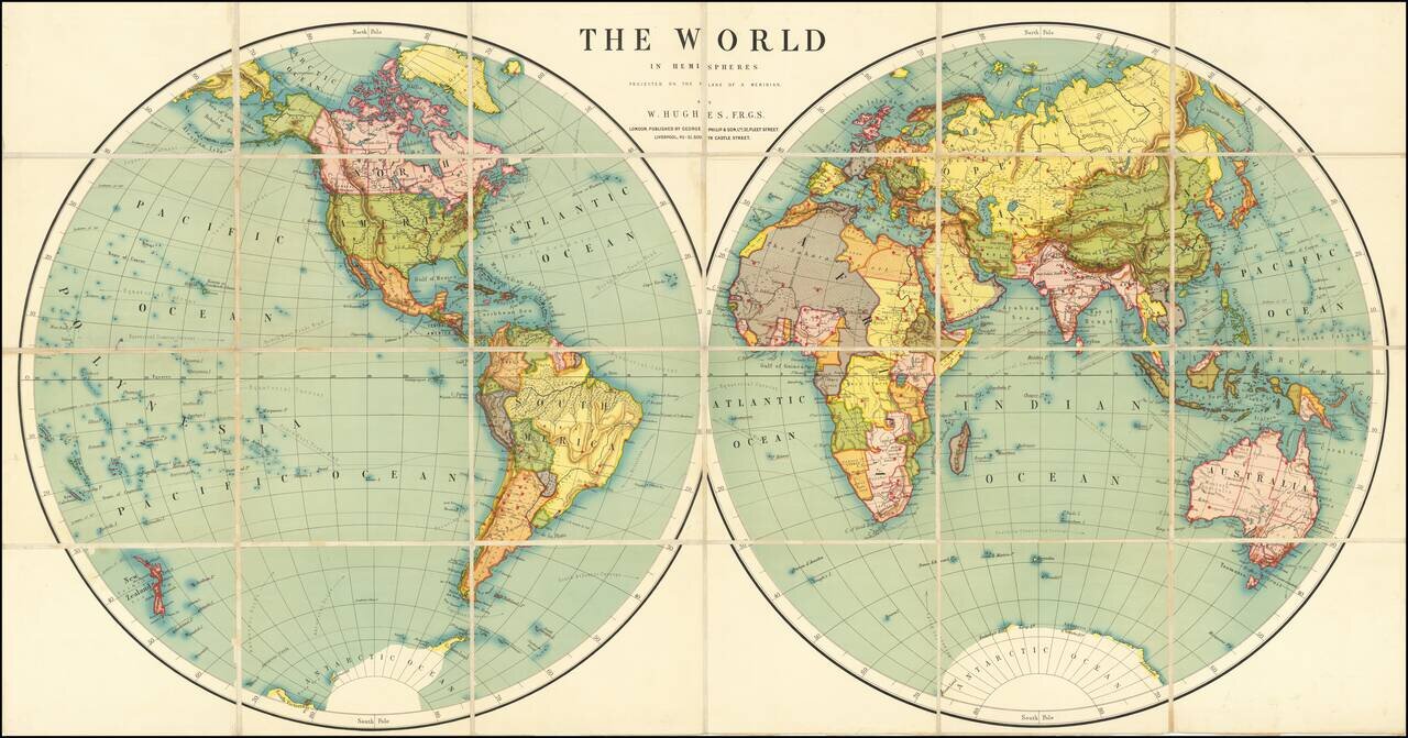
Fine large world map, illustrating the world in two hemispheres at the end of the 19th Century.


Special conditions for students!

If you are a student, write to us in telegram: @antiquemaps and indicate what material you need and for what work you need a map in high detail. We are ready to provide material on special terms. For students only!

Item information:

Year of creation:
Size:
40794x21395 px
Disk:
211.671MiB
Number of pages:
1
Place:
London
Author:
George Philip & Son.
$29.99

Related item