Map size in jpg-format: 29.9954MiB
Click to open in high resolution (open in new tab).

An Early American Travel Directory By America's Most Important Early Mapmaker
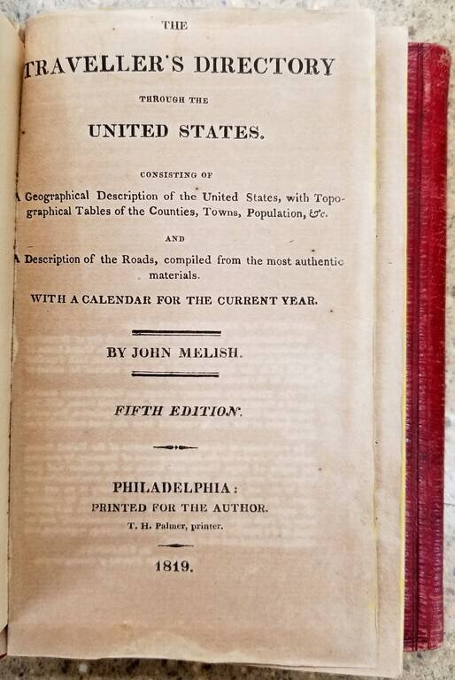
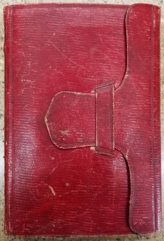
Rare early travel directory, published by John Melish in 1819.
This is one of the earliest American Travel guides, produced by America's most important mapmaker in the first part of the 19th Century.
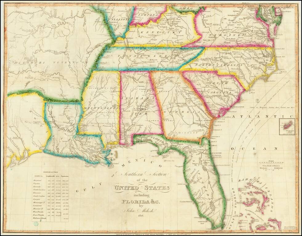
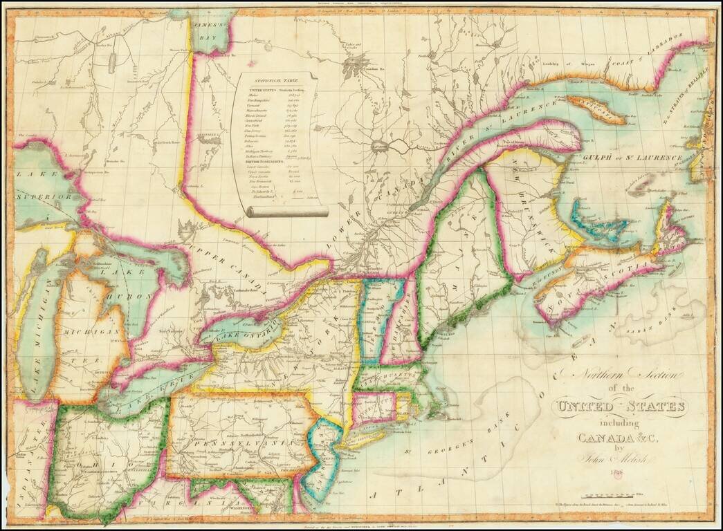
the map outlines some of the earliest Roads reaching to the Upper Midwest.
includes:
Title page, preface, 148 pages of text, 2 folding maps and; 4 single sheet maps (Baltimore, Boston, New York and Philadelphia).
(1) Southern Section of the United States Including Florida. 16 x 20-1/2 inches. Inset scale, statistical table, Bermudas Isles. Some splits along folds, light foxing. Colored borders of States, border of map; (2) Northern Section of the United States Including Canada &c. 15-3/8 x 20-1/2 inches. Inset scale, statistical table. Some splits along folds, light foxing. Colored borders of States, border of map.
John Melish (1771-1822) was the most prominent American mapmaker of his generation, even though his cartographic career lasted only a decade. Melish was born in Scotland; he moved to the West Indies in 1798 and then to the United States in 1806. By 1811, he had settled in Philadelphia and published Travels through the United States of America, in the years 1806 & 1807, and 1809, 1810, & 1811, which was richly illustrated with maps.
Melish created several regional maps of the highest quality, as well as the Military & Topographical Atlas of the United States (Philadelphia, 1813, expanded 1815). The latter work is widely considered to be the finest cartographic publication to come out of the War of 1812.
By far his best-known work is his monumental map of the United States of 1816, Map of the United States with the contiguous British and Spanish Possessions. He began working on the map in 1815 and sent it to Thomas Jefferson for comment in 1816. Jefferson enthusiastically reviewed the map and returned it with his edits. Jefferson later hung an example of the map in the Entrance Hall of Monticello and sent it to associates in Europe.
Melish’s finished product was the first map of the United States to extend to the Pacific Ocean. After its publication in 1816, Melish ensured the map was as up-to-date as possible; it was reissued in 25 known states published between 1816 and 1823. The map captured the then rapidly changing geography of the United States, as well as various boundary disputes, treaties, and expansion.
If you are a student, write to us in telegram: @antiquemaps and indicate what material you need and for what work you need a map in high detail. We are ready to provide material on special terms. For students only!

![[Signed Political Satire Artwork] Vietnam ... Vietnam ... Vietnam ...](/map/small/68726.jpg)
