logo

1814. The State of South Carolina from the best Authorities by Samuel Lewis

  • The State of South Carolina from the best Authorities by Samuel Lewis

The State of South Carolina from the best Authorities by Samuel Lewis information:

Year of creation: 
Resolution size (pixels): 
 11348x10082 px
Disk Size: 
 21.83MiB
Number of pages: 
 1
Place: 
 Philadelphia
Author: 

Print information. Print size (Width x height in inches):
Printing at 72 dpi 
  157.61 х 140.03
Printing at 150 dpi 
 75.65 х 67.21
Printing at 300 dpi 
 37.83 х 33.61

An example of detailing the file of this map of in a printable high-resolution:

Click to open in high resolution (open in new tab).
Attention! this is just the central piece (central area 960x960 px) of the map file!
This is an example, so that you can see and study the level of detail of a given map. The entire Map will be fully available after payment!

The State of South Carolina from the best Authorities by Samuel Lewis

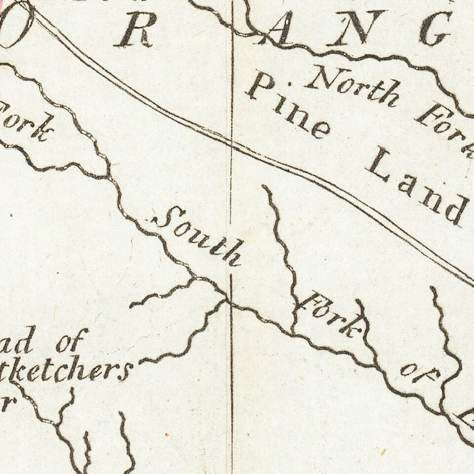
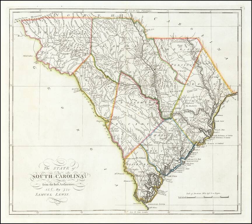
Finely colored example of Carey's map of South Carolina, hand colored by counties, from the rare 1816 edition of Mathew Carey's General Atlas.

The map provided a large format and highly detailed map of the state, showing towns, roads, rivers, mountains, swamps, counties, meeting houses, and substantial other detail.

Highly detailed throughout.

One of the earliest obtainable maps of the state of South Carolina.


Special conditions for students!

If you are a student, write to us in telegram: @antiquemaps and indicate what material you need and for what work you need a map in high detail. We are ready to provide material on special terms. For students only!

Item information:

Year of creation:
Size:
11348x10082 px
Disk:
21.83MiB
Number of pages:
1
Place:
Philadelphia
Author:
Mathew Carey.
$14.99

Related item