Map size in jpg-format: 16.9267MiB
Click to open in high resolution (open in new tab).
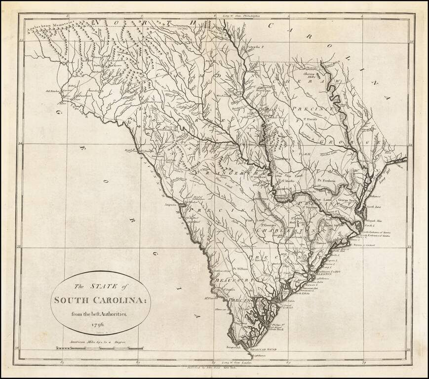
Excellent example of John Reid's map of South Carolina, the second folio map of the state to appear in a commercial atlas.
The map was engraved by Benjamin Tanner and is drawn largely from Carey's map by Samuel Lewis, issued the prior year.
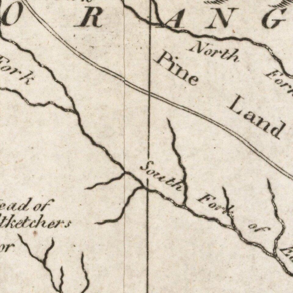
An excellent topographical map, showing the 8 precincts, boundaries, principal towns and roads. Because of an error in scale, the map is about 15 percent larger than its actual longitude, thus elongating the map north and south. The northwest Georgia boundary is confused and out of shape as the north branch of the Tugaloo (Chattooga) River is swung over where the South Branch (Tallulah River) runs. This pushes the western portion of the state too far west.
John Reid's American Atlas was the second folio sized atlas published in the US. Reid's atlas was originally issued to accompany Winterbotham's Historical, Geographical, Commercial and Philosophical View of the United States. It was originally issued with 20 maps, which were engraved by Benjamin Tanner (9), David Martin (5), D. Anderson (2), John Scoles and John Roberts. Two of the maps are without credits. Ellicott's plan of Washington D.C. was added to a few examples.
If you are a student, write to us in telegram: @antiquemaps and indicate what material you need and for what work you need a map in high detail. We are ready to provide material on special terms. For students only!