Map size in jpg-format: 6.80587MiB
Click to open in high resolution (open in new tab).
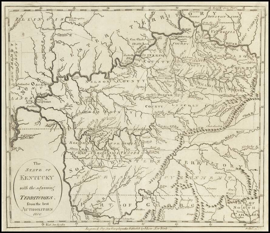
Early Map of Kentucky, Tennessee and Southern Ohio
Important early map of Kentucky, Tennessee (then still Southwestern Territory) and the Ohio Valley, with marvelous early information.
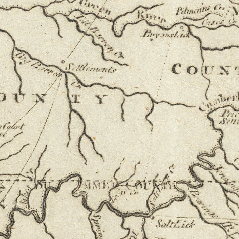
Kentucky includes about a dozen early counties, plus towns, roads, rivers, creeks, mountains and other early features. South of Kentucky is a region identified as Reserved for North Carolina Troops. Below the troop reserve is a reference to the ephemeral Southwestern Territory, which has also been named Tennessee Government. A number of roads lead out of Nashville, including the Mountain Leaders Trace and Taylors Trace, to the Cherokee Villages.
North of the Ohio River, the New Jersey Company and Army Lands are shown, as is the Donation Lands of Virginia and the Ohio Company. The Lands of Colonel Simmes and General Clarke are named north of the Ohio as well. A number of forts are shown on the Mississippi River and its tributaries, including Post Vincennes on the Wabash.
If you are a student, write to us in telegram: @antiquemaps and indicate what material you need and for what work you need a map in high detail. We are ready to provide material on special terms. For students only!