

Map size in jpg-format: 28.2666MiB
Click to open in high resolution (open in new tab).

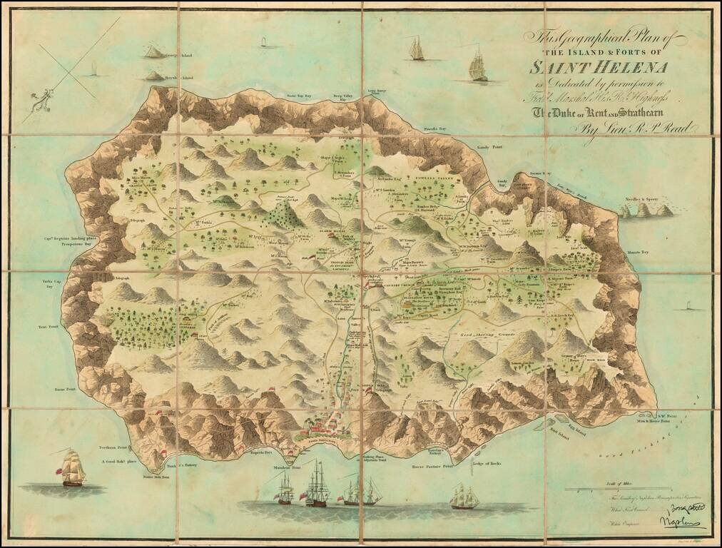
Finely colored example of Liuetenant Read's map of St. Helena, published shortly after Napoleon Bonaparte's first (and second) exile.
Napoleon I's exile on the island of St Helena has contributed greatly to a heightened interest among he British public in this tiny island west of Africa. The maker, "Lieutenant Read," is otherwise unknown. It is likely that this officer was at some point posted to the island and thus in a position to add certain cartographical precisions. The map is based upon the work of John Seller in 1675 Atlas Maritimus chart of St. Helena. The map includes topographical dedtails and is also decorated with trees, ships, cannons, residences, and even whales. The interior details are quite extensive, showing numerous plantations, houses, farms,etc.
The map is known in four editions:
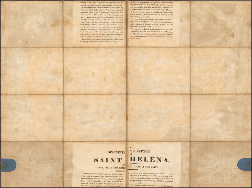
Shows two facsimiles of Napoleon Bonaparte's signature.
If you are a student, write to us in telegram: @antiquemaps and indicate what material you need and for what work you need a map in high detail. We are ready to provide material on special terms. For students only!

![[Ascension Island] The True Description of the Island of Ascention lyeing under 8 degrees on ye South syde of ye Equinoctiall lyne.](/map/small/69468.jpg)