logo

1950. The Dole Map of the Hawaiian Islands

  • The Dole Map of the Hawaiian Islands

The Dole Map of the Hawaiian Islands information:

Year of creation: 
Resolution size (pixels): 
 24399x14143 px
Disk Size: 
 120.735MiB
Number of pages: 
 1
Place: 
 San Francisco

Print information. Print size (Width x height in inches):
Printing at 72 dpi 
  338.88 х 196.43
Printing at 150 dpi 
 162.66 х 94.29
Printing at 300 dpi 
 81.33 х 47.14

An example of detailing the file of this map of in a printable high-resolution:

Click to open in high resolution (open in new tab).
Attention! this is just the central piece (central area 960x960 px) of the map file!
This is an example, so that you can see and study the level of detail of a given map. The entire Map will be fully available after payment!

The Dole Map of the Hawaiian Islands

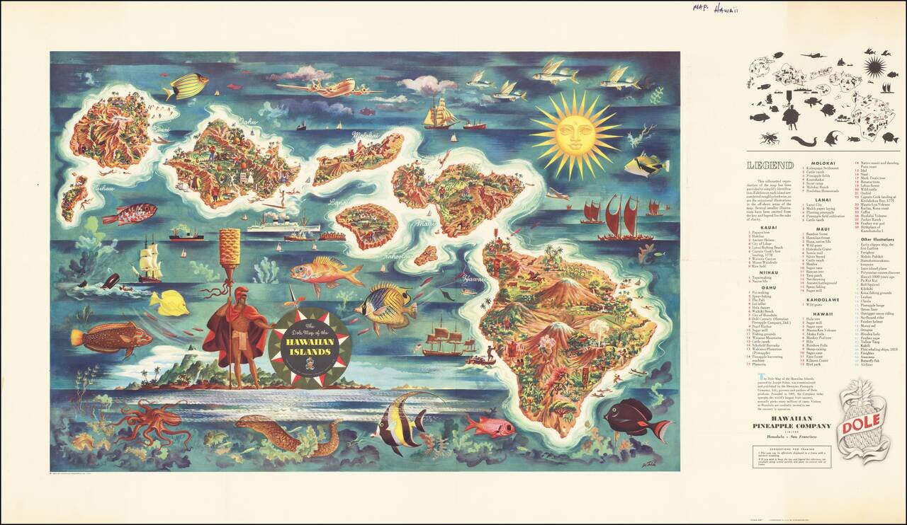
Decorative map of Hawaii, from a painting by Joseph Feher, commissioned by the Hawaiian Pineapple Company.

This is the second of Dole's iconic maps, which have been sought after by collectors almost since the initial printing.


Special conditions for students!

If you are a student, write to us in telegram: @antiquemaps and indicate what material you need and for what work you need a map in high detail. We are ready to provide material on special terms. For students only!

Item information:

Year of creation:
Size:
24399x14143 px
Disk:
120.735MiB
Number of pages:
1
Place:
San Francisco
Author:
Hawaiian Pineapple Company.
$21.99

Related item