
Map size in jpg-format: 50.4142MiB
Click to open in high resolution (open in new tab).
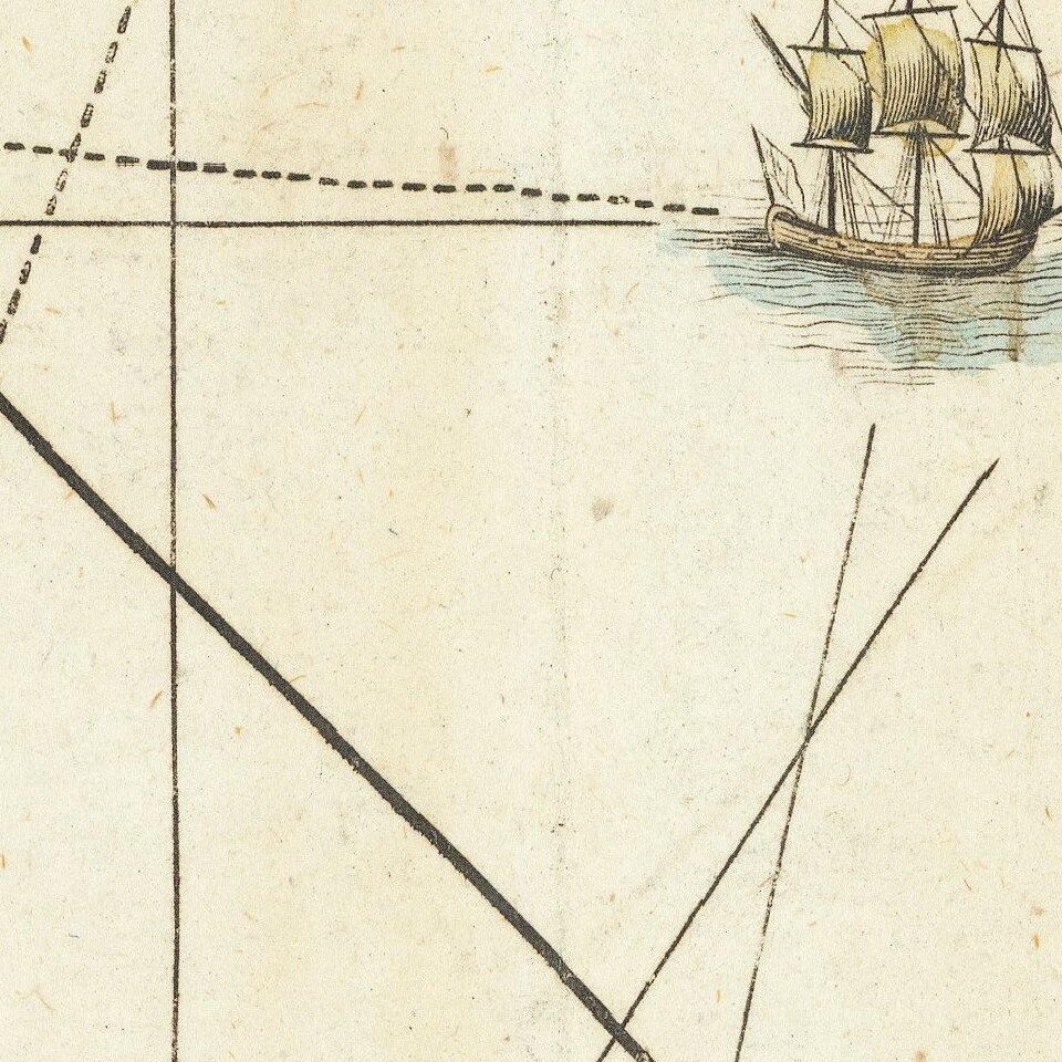
Striking full color example of scarce 1792 edition of Thomas Jefferys' map of the Gulf Coast, from Jeffreys' West India Atlas.
Jeffery's map is one of the earliest obtainable large format map to treat the Gulf Coast region with such remarkable detail, including soundings and rhumb lines. The map identifies the trade routes then being utilized by the English, Spanish, and other maritime sea powers, along the gulf coast. The map shows many early place names, both along the coastline and the interior.
Jeffreys' West India Atlas was perhaps the single most important work on the region published during the period. It quickly surpassed Mount & Page' s English Pilot, Fourth Book as the primary source of general working charts for the region, by including highly detailed maps of each of the major islands in the Pacific and highly detailed charts of the Coastlines of Florida, the Gulf, Mexico, Central America and the northern Coast of South America.
If you are a student, write to us in telegram: @antiquemaps and indicate what material you need and for what work you need a map in high detail. We are ready to provide material on special terms. For students only!

![[Wall Map] West-Indische Paskaert waer in de graden der breedde over weder zyden vande middelyn wassende so vergrooten dat die geproportioneert syn tegen hunne nevenstaende graden de lengde.](/map/small/60169.jpg)
