Map size in jpg-format: 1.30989MiB
Click to open in high resolution (open in new tab).
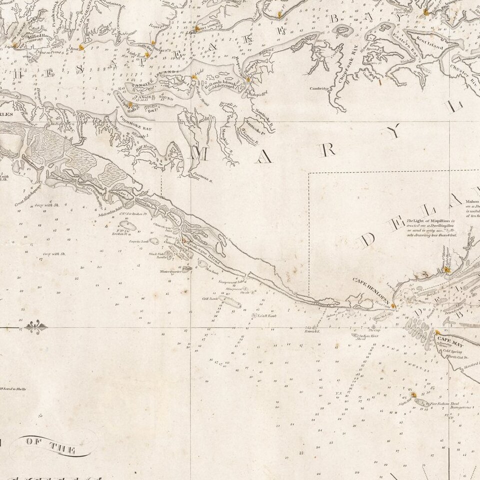
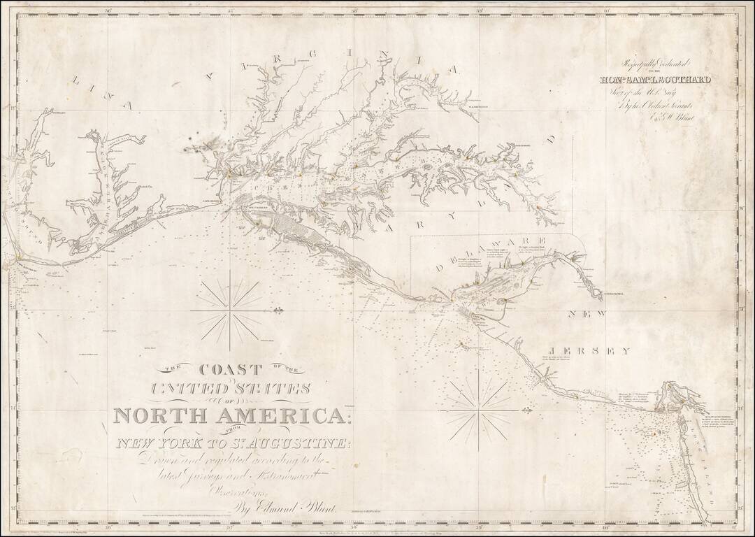
Nice example of Edmund Blunt's chart of the central portion of the coastline of the United States, from Cape Hatteras to Long Island.
Blunt's chart was one of the most commercially successful and enduring American Sea charts issued in the first half the 19th Century. By this point in time, Blunt had become the dominant American chartmaker, and the technical precision of his work was beginning to rival the best English chartmakers.
The map is centered on Chesapeake Bay and its tributary Rivers, with lighthouses identified with yellow and red dots.
The chart is oriented with north toward right.
This is the second section of 4-sheet engraved nautical chart, which extended ultimately from Florida to New England. Relief shown by hachures; depths shown by soundings. Light house coloring added by hand in red.
Includes dedication to Saml. L. Southard, Secy. of the U.S. Navy.
This chart would be re-issued into the 1850s, with the title relocated to the location of the dedication of this earlier edition of the chart.
If you are a student, write to us in telegram: @antiquemaps and indicate what material you need and for what work you need a map in high detail. We are ready to provide material on special terms. For students only!
![[Wall Map] West-Indische Paskaert waer in de graden der breedde over weder zyden vande middelyn wassende so vergrooten dat die geproportioneert syn tegen hunne nevenstaende graden de lengde.](/map/small/60169.jpg)

![[The First Maps in a la poupée Printed Color] Cartes en Couleur des Lieux Sujets aux tremblements de Terre Dans toutes les parties du Monde Selon le Sisteme de l’impulsion Solaire](/map/small/52293op.jpg)