Map size in jpg-format: 51.9591MiB
Click to open in high resolution (open in new tab).
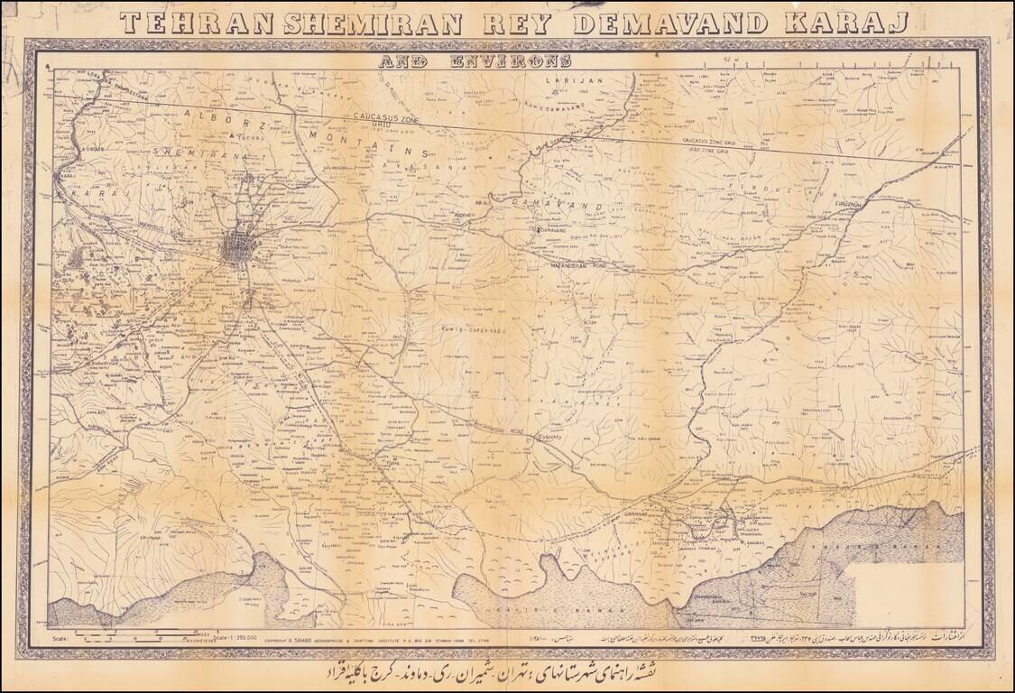
Detailed map of the area around modern Tehran, incorporating Tehran and 4 other cities, published by the Sahab Geographic and Drafting Institute.
The map shows an area that is now greater Tehran and the regions to the West, extending to Firukuh and Garmsar.
The map illustrates public works, including:
The map covers the roads, rivers and perennial rivers in the region, most notably the following major roads:
Interesting regional map.
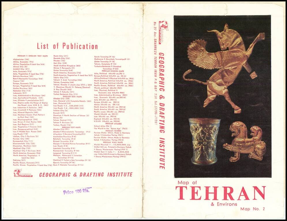
The Sahab Geographic and Drafting Institute was founded in Tehran in 1935, the first private geographic and mapmaking enterprise in the Middle East.
Foounded by Abolghasem Sahab, the firm was later run by his son Abbas Sahab.
Abbas Sahab (1921-2000 is often called "Father of Iran’s Cartography". He was born in Fam, in Tafresh district in Iran. His father Ostad Abolghasem Sahab Tafreshi was a famous writer and author of about seventy titles on on historical, geographical, religious, cultural and artistic topics.
Addass Sahab devoted himself to cartography already during the time off his studies in Teheran. During his life he created more than 1,500 valuable works including maps, atlases, plates, scientific and medical illustrations, as well as geographical globes. Sahab was very active on the international level. He was an an active member of the International Cartographic Association Between 1968-1971 he issued maps of other countries such as Afghanistan, Pakistan, Iraq and Turkey.
In 1970 Sahab organised the First International Map Exhibition in the Tehran Teachers Training High School and in the next years he organised similar events in the other cities.In his last years he dedicated himself to his monumental work: The Great Atlas of 14 Centuries of Islamic Arts in 20 volumes, of which the first volume was published in 2000.
If you are a student, write to us in telegram: @antiquemaps and indicate what material you need and for what work you need a map in high detail. We are ready to provide material on special terms. For students only!

![Азіятская Турція, Персія, Аравія, и Часть Туркестана. [Asian Turkey, Persia, Arabia, and Part of Turkestan.]](/map/small/66732.jpg)