
Map size in jpg-format: 44.4146MiB
Click to open in high resolution (open in new tab).
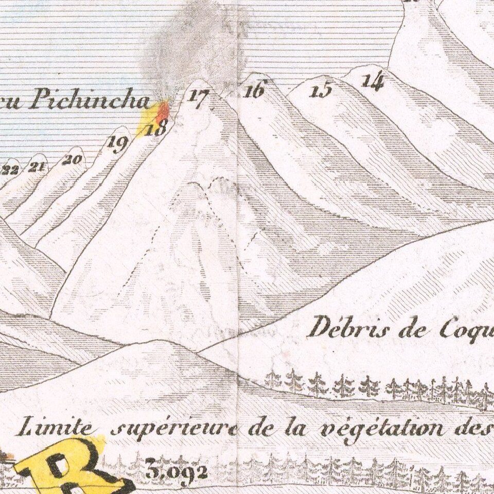
Finely colored chart of the World's mountains and rivers, featuring numerous erupting volcanoes.
A fine thematic chart illustrating the relative sizes of the world's tallest mountains and longest rivers.
The chart also illustrates the relative heights of the world's tallest waterfalls. The rivers are aligned at upper left with the mountains and volcanoes filling the lower right with the major cities noted throughout with their elevations noted on the mountain portion.
Extensive text in French surrounds the main image.
If you are a student, write to us in telegram: @antiquemaps and indicate what material you need and for what work you need a map in high detail. We are ready to provide material on special terms. For students only!


