logo

1933. Swiss Federal Railways Tourist Map of Switzerland 1933

  • Swiss Federal Railways Tourist Map of Switzerland 1933
  • Swiss Federal Railways Tourist Map of Switzerland 1933

Swiss Federal Railways Tourist Map of Switzerland 1933 information:

Year of creation: 
Resolution size (pixels): 
 14003x10859 px
Disk Size: 
 45.647MiB
Number of pages: 
 2
Place: 
 Berne

Print information. Print size (Width x height in inches):
Printing at 72 dpi 
  194.49 х 150.82
Printing at 150 dpi 
 93.35 х 72.39
Printing at 300 dpi 
 46.68 х 36.2

An example of detailing the file of this map of in a printable high-resolution:

Click to open in high resolution (open in new tab).
Attention! this is just the central piece (central area 960x960 px) of the map file!
This is an example, so that you can see and study the level of detail of a given map. The entire Map will be fully available after payment!

Swiss Federal Railways Tourist Map of Switzerland 1933

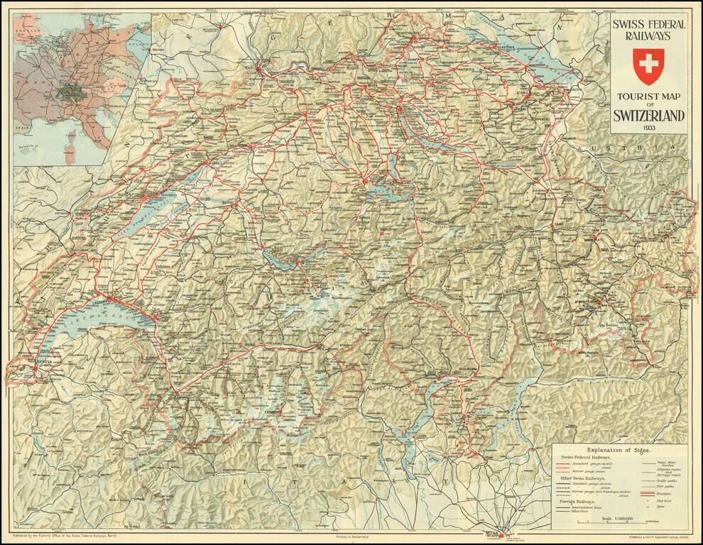
Detailed map of Switzerland, promoting Tourism to the English market prior to World War II.

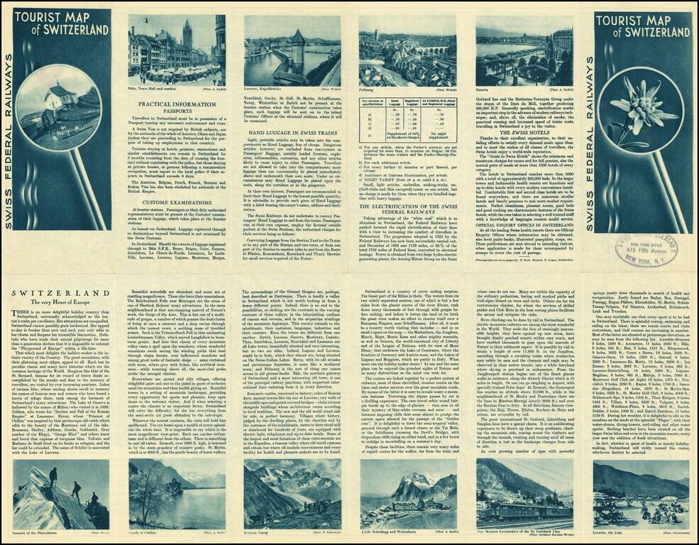
Pictures and promotional text on the verso.


Special conditions for students!

If you are a student, write to us in telegram: @antiquemaps and indicate what material you need and for what work you need a map in high detail. We are ready to provide material on special terms. For students only!

Item information:

Year of creation:
Size:
14003x10859 px
Disk:
45.647MiB
Number of pages:
2
Place:
Berne
Author:
Kummerly & Frey's Geographical Establishment.
$14.99

Related item