Map size in jpg-format: 20.7252MiB
Click to open in high resolution (open in new tab).
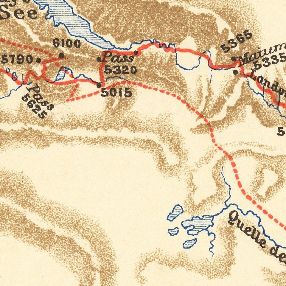
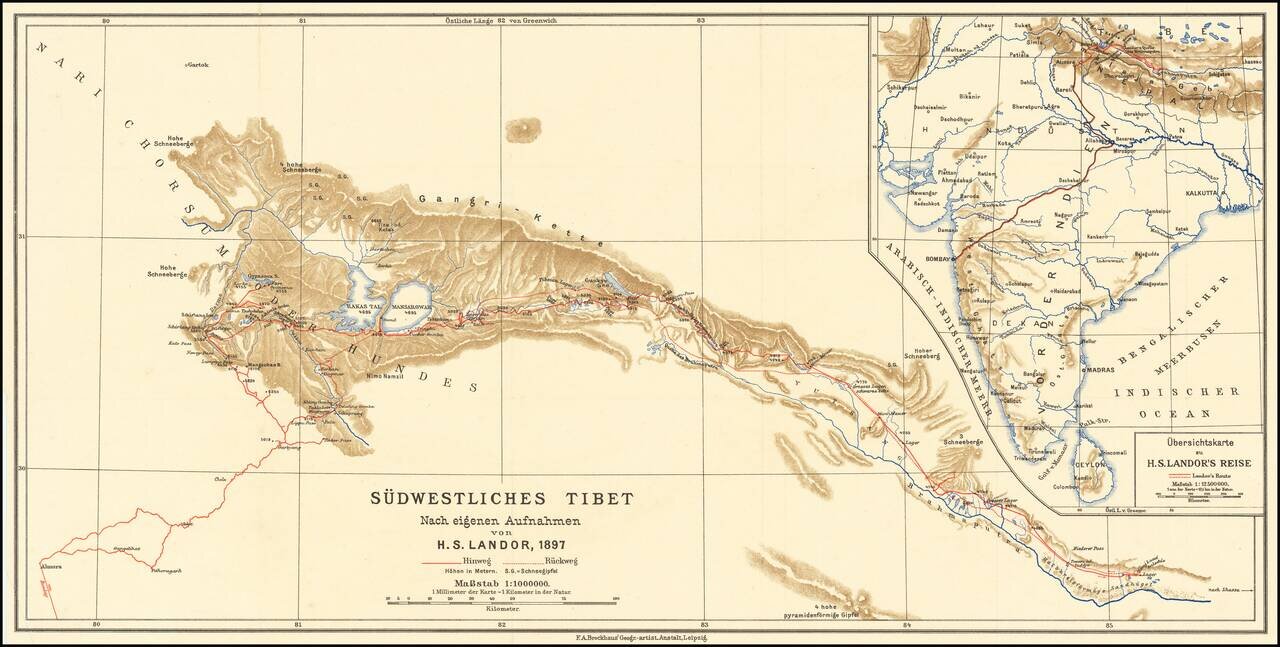
Scarce map of southwestern Tibet, illustrating the report of H.S. Candor.
Candor was the first European to reach both sources of the Brahmaputra River. His book on Tibet was published in 1897.
If you are a student, write to us in telegram: @antiquemaps and indicate what material you need and for what work you need a map in high detail. We are ready to provide material on special terms. For students only!

![Il Disegno Della Terza Parte Dell' Asia [Gastaldi's Wall Map of SE Asia with extra panels!]](/map/small/30554hbp.jpg)
