Map size in jpg-format: 19.5672MiB
Click to open in high resolution (open in new tab).
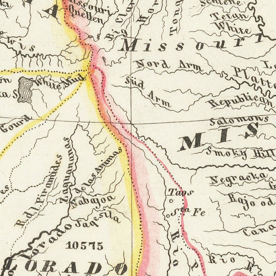
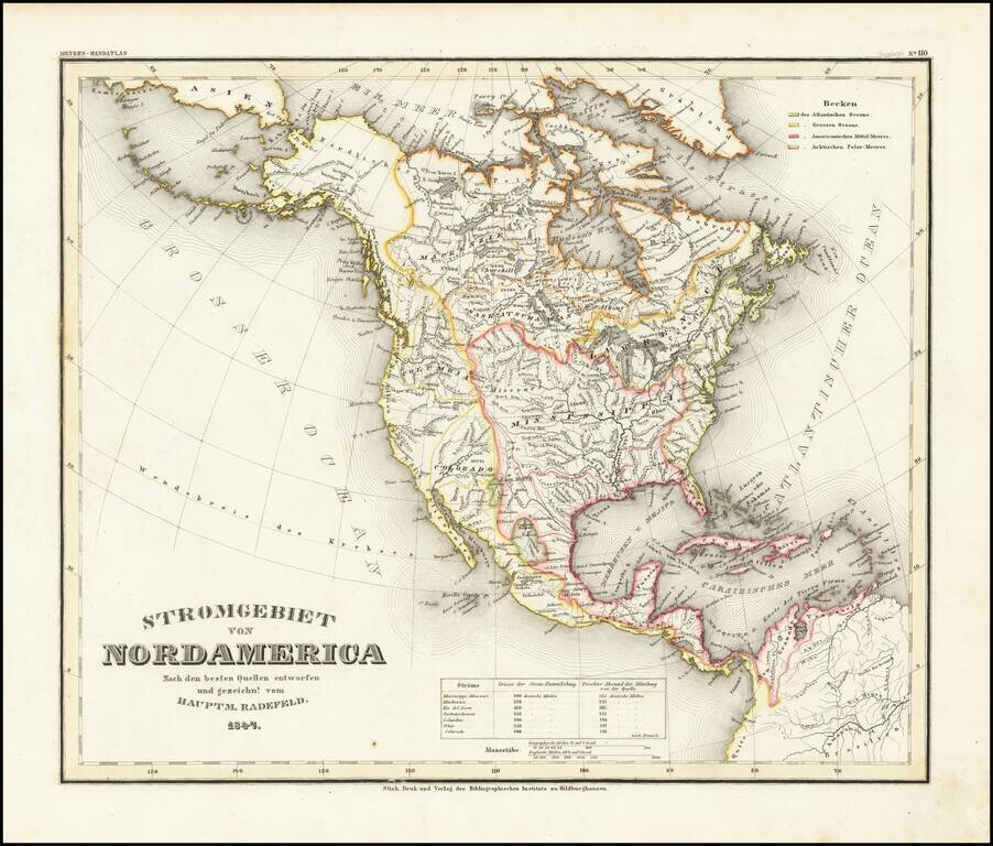
A fascinating early geographical map of North America, showing the various regions drained by major North American Rivers, including Colorado, Columbia, Mississippi, Rio Del Norte, Mackenzie, Saskatchewan, and the St. Lawrence, among others.
Very unusual and informative map filled with interesting geographical misconceptions and mythical rivers in the West. Includes mountain elevations, lengths of major rivers and other details.
Joseph Meyer (1796-1856) was a German publisher who released Meyers Konversations-Lexikon, a German-language encyclopedia in print from 1839 to 1984. Meyer was born in Gotha and educated as a merchant in Frankfurt, an important city in the book trade. He traveled in London in 1816 and was back in German in 1820, where he began to invest in textiles and railways. He opened his publishing operation, Bibliographisches Institut, in 1826. His publications each had a serial number, a new innovation at the time. He was best known for his atlases and the Meyers Universum (1833-1861), which featured steel-engravings of the world. The Universum stretched to 17 volumes in 12 languages and was subscribed to by 80,000 people all over Europe. Thanks to his publishing success, Meyer moved the Institut from Gotha to Hildburghausen in 1828. Meyer died in the latter city in 1856.
If you are a student, write to us in telegram: @antiquemaps and indicate what material you need and for what work you need a map in high detail. We are ready to provide material on special terms. For students only!


![[Signed Political Satire Artwork] Vietnam ... Vietnam ... Vietnam ...](/map/small/68726.jpg)