Map size in jpg-format: 26816300B
Click to open in high resolution (open in new tab).
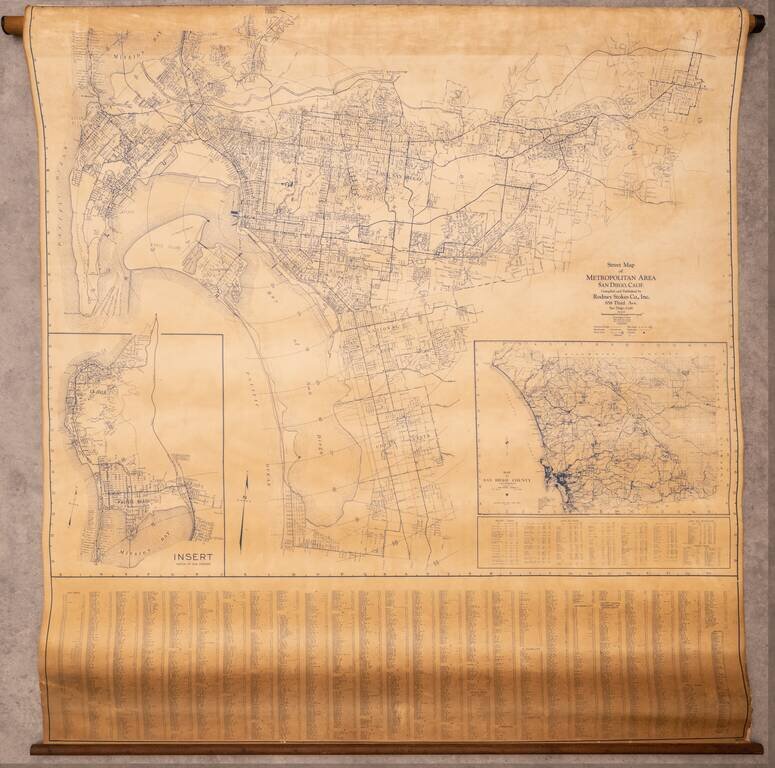
Large wall map of the San Diego Metropolitan Area, from Coronado to El Cajon, with an inset of Pacific Beach and La Jolla, and a further inset of the County of San Diego.
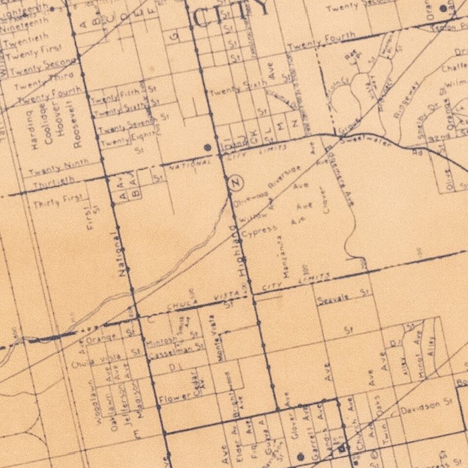
This is a very large and detailed wall map of central San Diego, shown at 1:4000 ft.
The map was initially issued in 1929, then updated in 1940 and 1943.
Most street names are recorded, though the city is far less developed than it is today. For instance, the interior of La Jolla, on Mount Soledad, and much of Chula Vista have little or no development.
Early wall maps of San Diego are quite rare.
If you are a student, write to us in telegram: @antiquemaps and indicate what material you need and for what work you need a map in high detail. We are ready to provide material on special terms. For students only!
![(California-Mexico Border Survey) Datos de los trabajos astronómicos y topográficos. [bound with:] Variedades de la civilizacion, nueva epoca (Tomo I)](/map/small/70777.jpg)