Map size in jpg-format: 2.50227MiB
Click to open in high resolution (open in new tab).
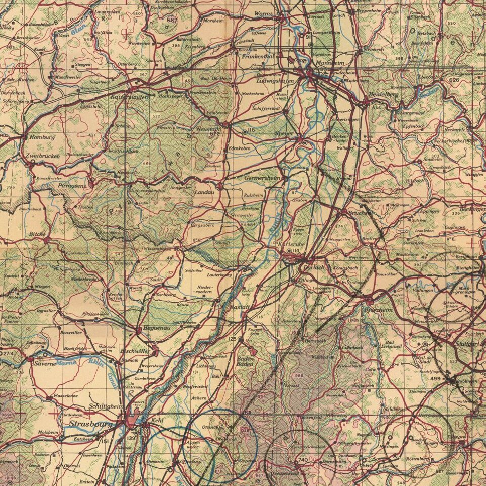
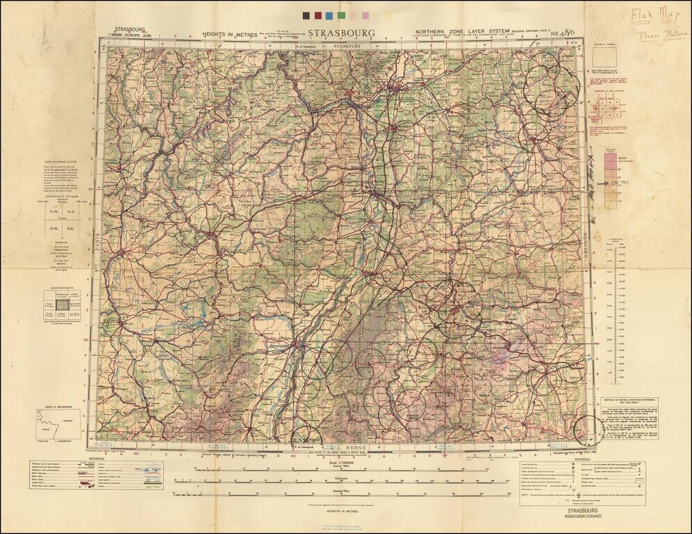
A Wall of Flak Batteries Leading into Germany.
Detailed WWII air navigation map of the area around Strasbourg, published by the British War Office.
The map is noteworthy for the manuscript circles highlighting the flak batteries stationed in major German cities. This information would have been indispensable to the bomber navigators who carried this map.
This particular map was owned by a pilot who would go on to be an experimental jet tester at Edwards Air Force Base.
This particular map shows a concentration of flak just across the Rhine from France, so positioned in an attempt to protect the heart of Nazi industrial production from Allied bombing.
If you are a student, write to us in telegram: @antiquemaps and indicate what material you need and for what work you need a map in high detail. We are ready to provide material on special terms. For students only!
![Carte d'Etude [Study Map]](/map/small/66795.jpg)
![Orange [Vauban Style Fortress]](/map/small/62043.jpg)
