Map size in jpg-format: 8.5428MiB
Click to open in high resolution (open in new tab).
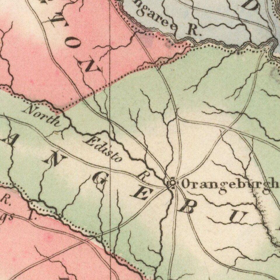
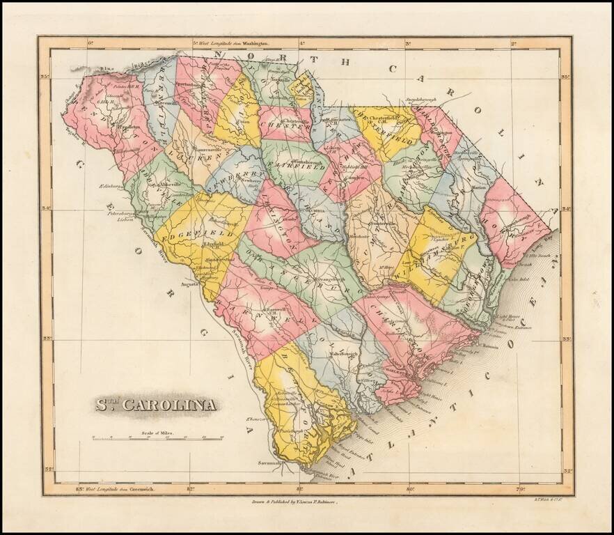
Striking example of Fielding Lucas' finely executed map of South Carolina.
Lucas's maps were typcally printed on a higher quality paper than contemporary maps by Carey & Lea and demonstrate a superior engraving quality and more attractive coloring style.
The state is hand colored by counties, showing towns, rivers, roads, forts and other places of interest.
Lucas' maps are highly desireable and increasingly rare on the market.
Fielding Lucas, Jr. (1781-1854) was a prominent American cartographer, engraver, artist, and public figure during the first half of the 19th century.
Lucas was born in Fredericksburg, Virginia and moved to Philadelphia as a teenager, before settling in Baltimore. There he launched a successful cartographic career. Lucas's first atlas was announced in early- to mid-1812, with production taking place between September 1812 and December of 1813, by which point the engravings were complete. Bound copies of the atlas -- A new and elegant general atlas: Containing maps of each of the United States -- were available early in the next year, beating Carey to market by about two months. Lucas later published A General Atlas Containing Distinct Maps Of all the known Countries in the World in the early 1820s.
If you are a student, write to us in telegram: @antiquemaps and indicate what material you need and for what work you need a map in high detail. We are ready to provide material on special terms. For students only!