logo

1921. Sovereignty and Mandate Boundary Lines in 1921 of the Islands of the Pacific . . .

  • Sovereignty and Mandate Boundary Lines in 1921 of the Islands of the Pacific . . .

Sovereignty and Mandate Boundary Lines in 1921 of the Islands of the Pacific . . . information:

Year of creation: 
Resolution size (pixels): 
 15085x11526 px
Disk Size: 
 73.5687MiB
Number of pages: 
 1
Place: 
 Washington, D.C.

Print information. Print size (Width x height in inches):
Printing at 72 dpi 
  209.51 х 160.08
Printing at 150 dpi 
 100.57 х 76.84
Printing at 300 dpi 
 50.28 х 38.42

An example of detailing the file of this map of in a printable high-resolution:

Click to open in high resolution (open in new tab).
Attention! this is just the central piece (central area 960x960 px) of the map file!
This is an example, so that you can see and study the level of detail of a given map. The entire Map will be fully available after payment!

Sovereignty and Mandate Boundary Lines in 1921 of the Islands of the Pacific . . .

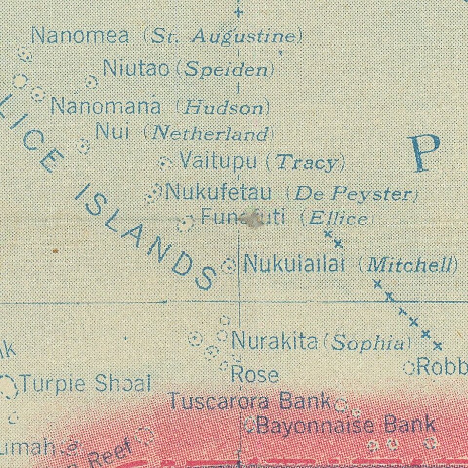
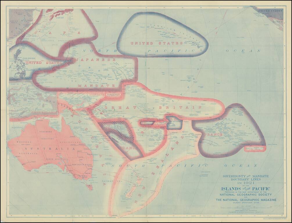
Fine map of the Pacific Ocean subsequent to the settlements agreed on territorial claims at the Peace Treaties after World War I.

The best contemporary Pacific map of its era with the Island groups reflecting the loss of the German possessions of Samoa and New Guinea.

The map illustrates the Pacific, as divided up between France, America, Great Britain, Australia, New Zealand and Japan.


Special conditions for students!

If you are a student, write to us in telegram: @antiquemaps and indicate what material you need and for what work you need a map in high detail. We are ready to provide material on special terms. For students only!

Item information:

Year of creation:
Size:
15085x11526 px
Disk:
73.5687MiB
Number of pages:
1
Place:
Washington, D.C.
Author:
National Geographic Society.
$14.99

Related item