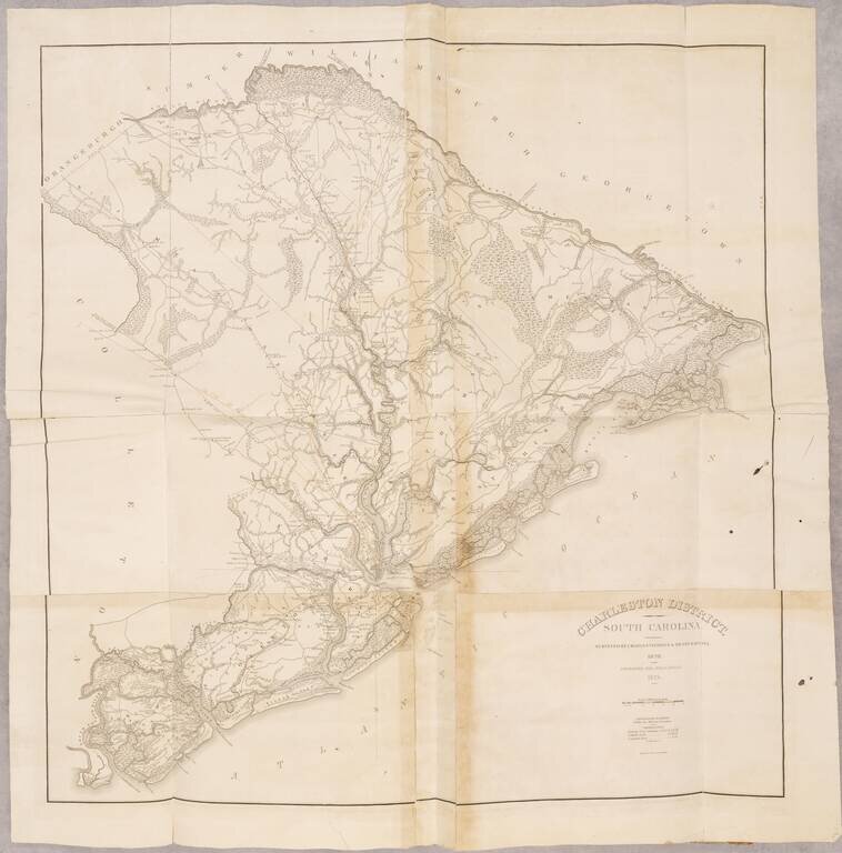
Map size in jpg-format: 4.47287MiB
Click to open in high resolution (open in new tab).
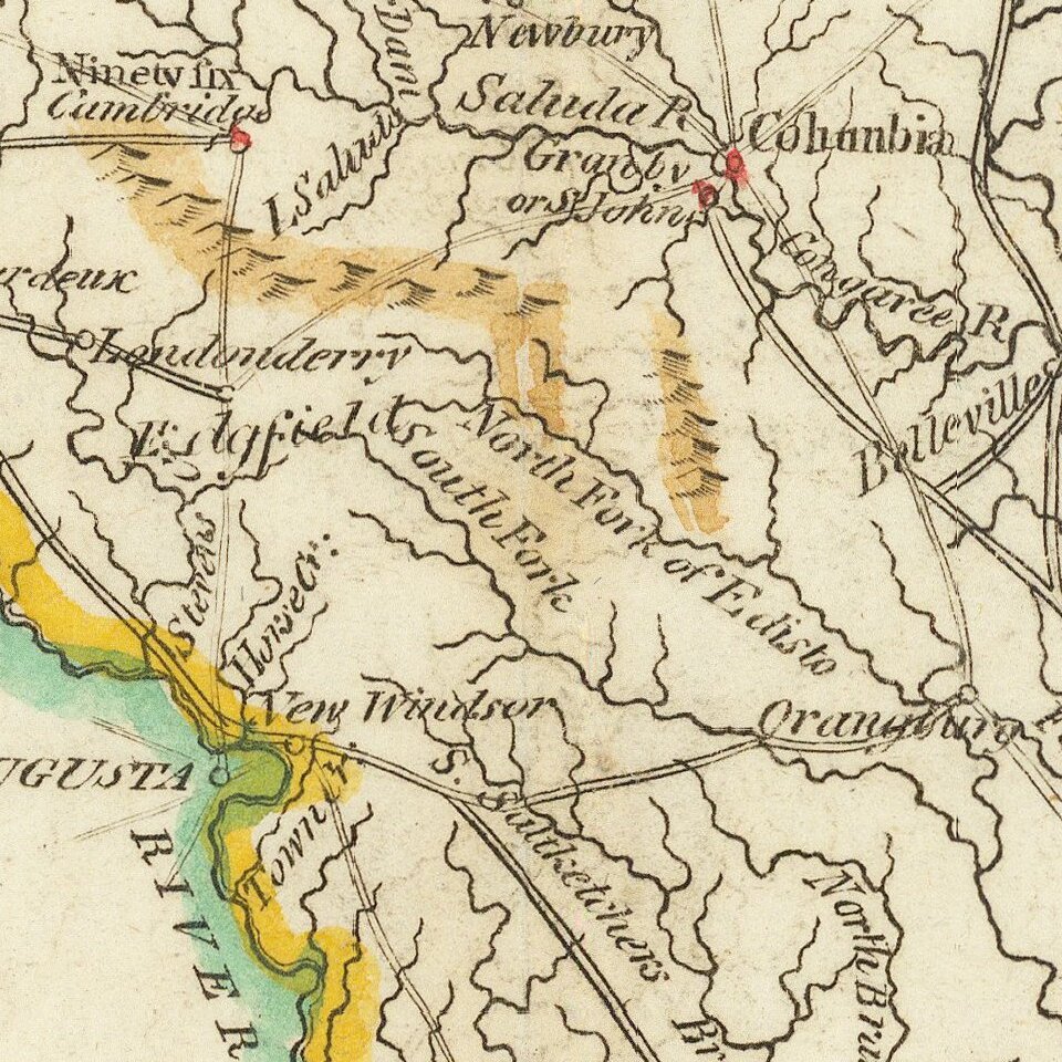
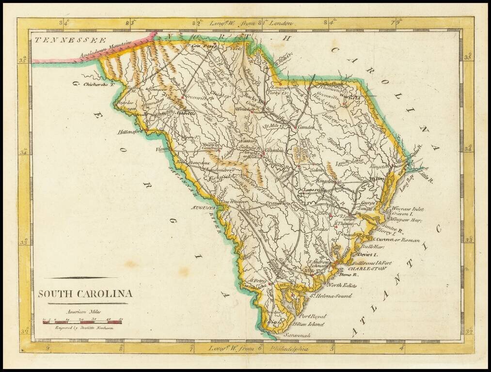
Nice early map of South Carolina from Carey's American Pocket Atlas.
The map shows towns, roads, rivers, mountains and other topographical features.
Following the publication of Carey's American Atlas in 1795, there were a small group of 18th Century works which included a complete set of state maps, including John Reid's American Atlas, Joseph T. Scott's Gazetteer, Carey's American Pocket atlas and works by Jeddidiah Morse. This small group of maps and the few separately issued maps of the region, which are now virtually unobtainable, mark the beginnings of the indigenous cartographic publishing business in America, and are now highly soughtafter.
If you are a student, write to us in telegram: @antiquemaps and indicate what material you need and for what work you need a map in high detail. We are ready to provide material on special terms. For students only!