Map size in jpg-format: 61891100B
Click to open in high resolution (open in new tab).
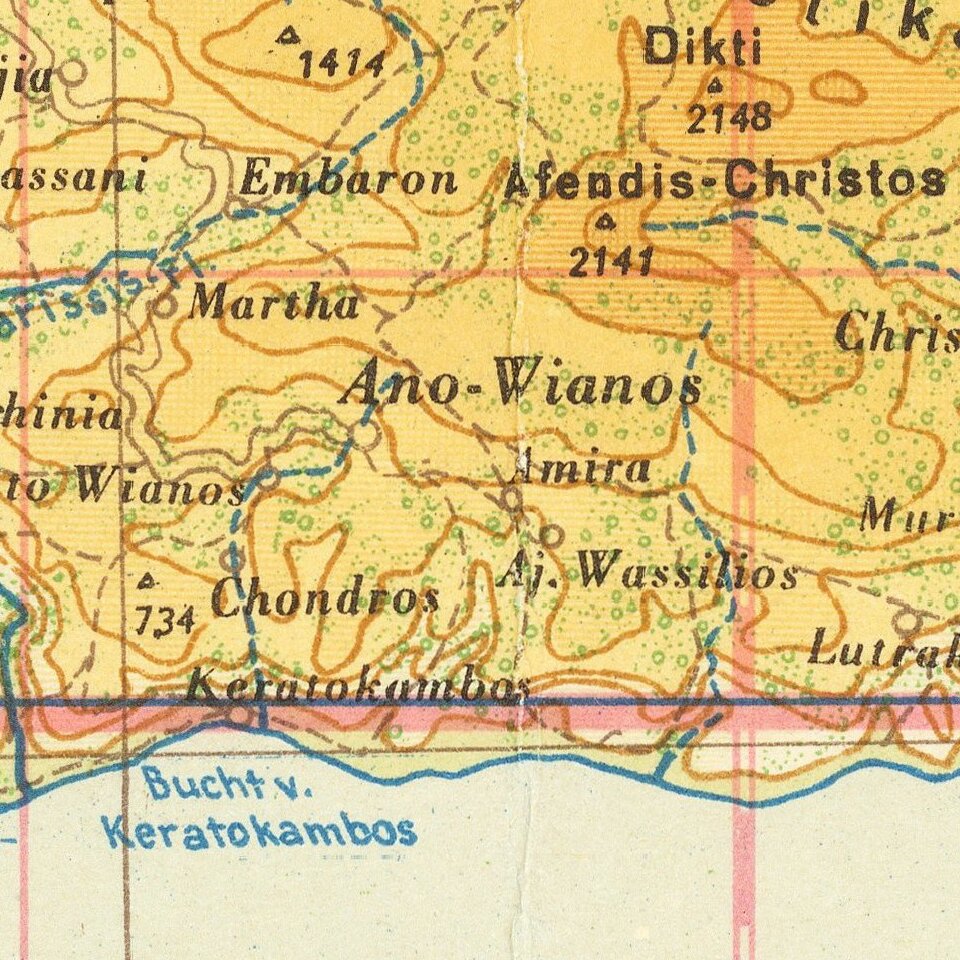
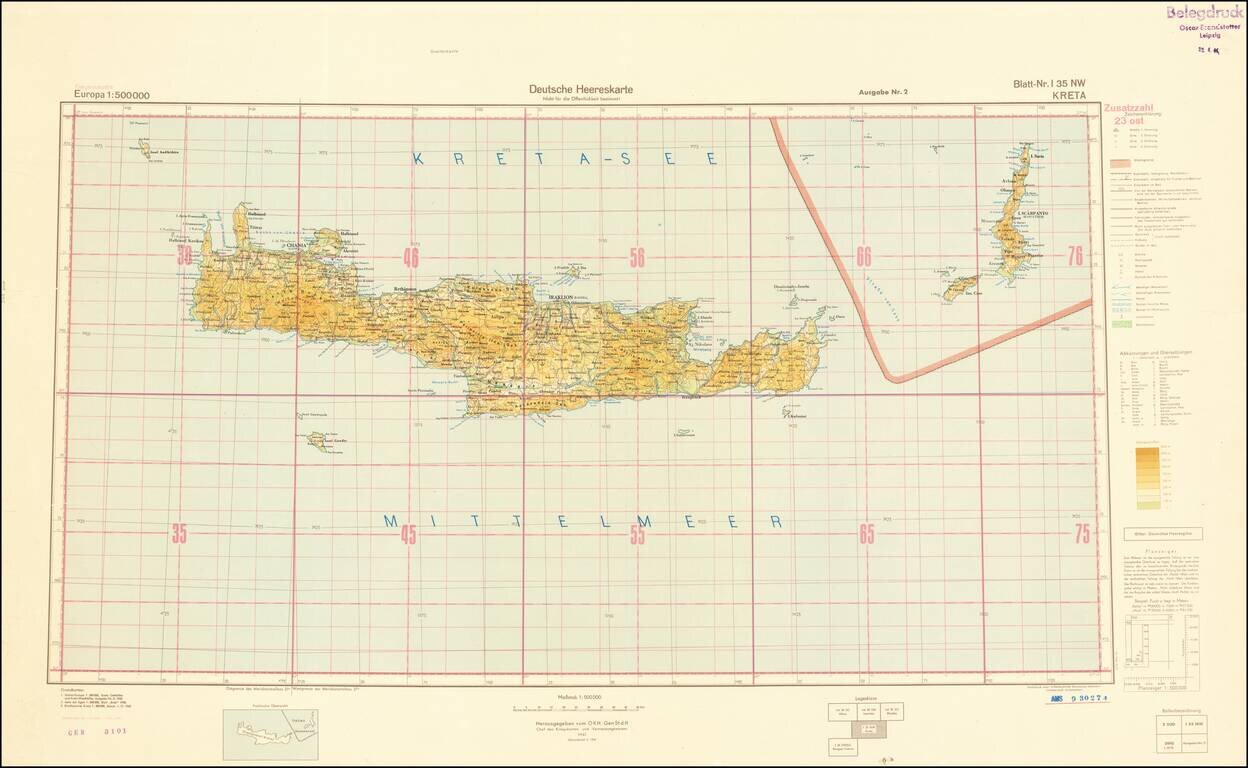
World War II-era German Army map of Crete, published shortly before the liberation of Crete from Germany occupation in October of 1944.
The map is a sheet from the 1:500,000 Europa series and it is replete with topographical and political data.
This map is one of tens of thousands of sheets that were captured by the AMS at the Saarland depot, which housed many of the German state map archives at the end of World War II.
If you are a student, write to us in telegram: @antiquemaps and indicate what material you need and for what work you need a map in high detail. We are ready to provide material on special terms. For students only!

![Patriarchatus Antiocheni Geographica Descriptio . . . [shows Cyprus]](/map/small/54177.jpg)
