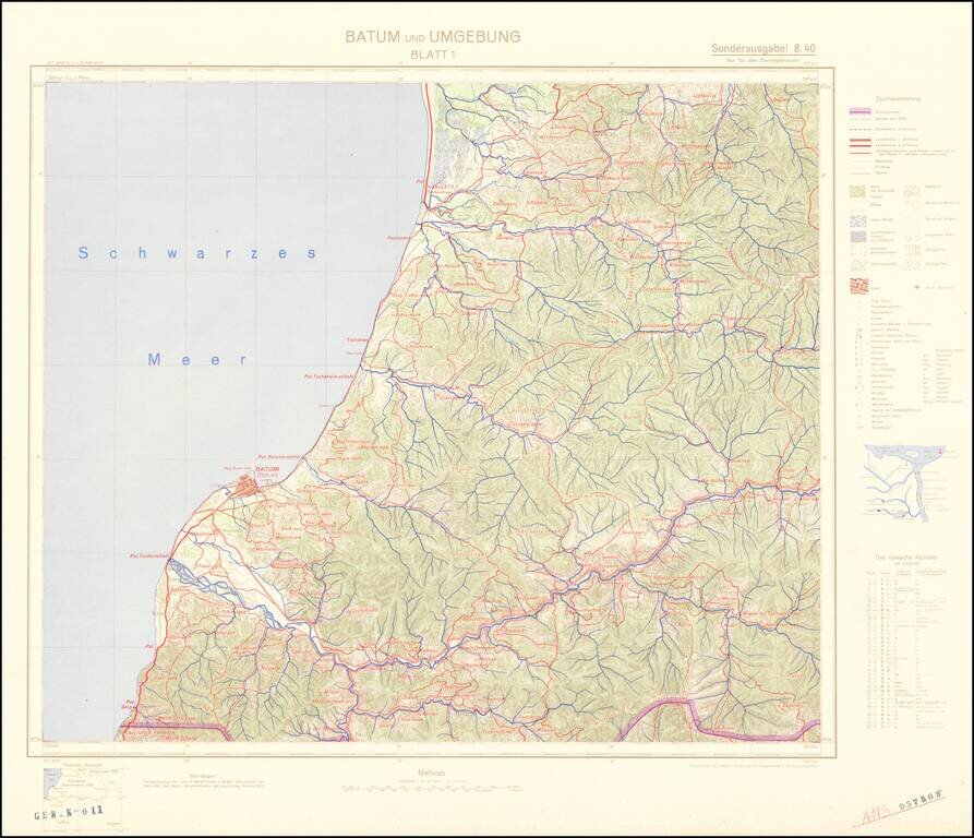
Four-sheet color-printed topographical map of the Adjarian Autonomous Soviet Socialist Republic and neighboring regions, prepared for strategic use by the General Staff of the German Army. The map is based on a 1917 German General Staff map. The area...
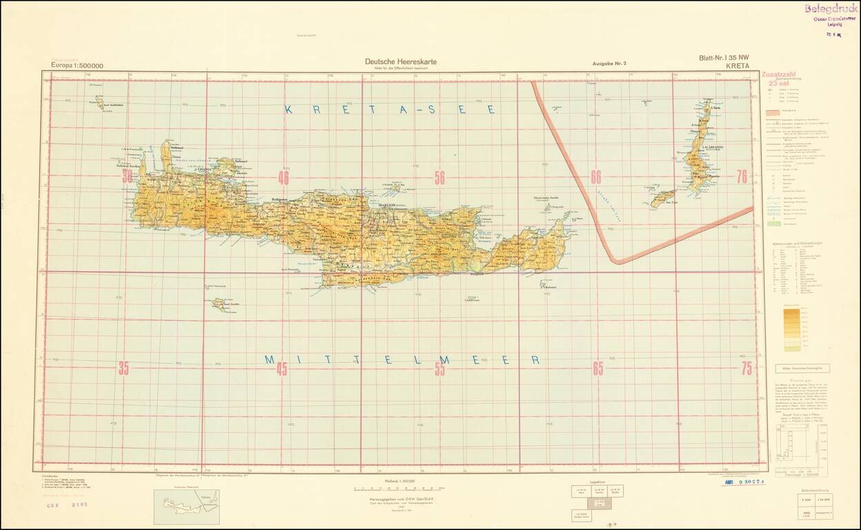
World War II-era German Army map of Crete, published shortly before the liberation of Crete from Germany occupation in October of 1944. The map is a sheet from the 1:500,000 Europa series and it is replete with topographical and political data. This...