Map size in jpg-format: 13.0476MiB
Click to open in high resolution (open in new tab).
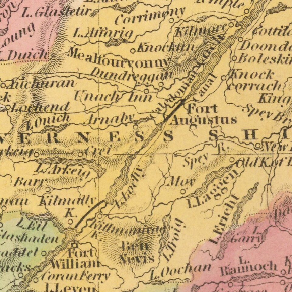
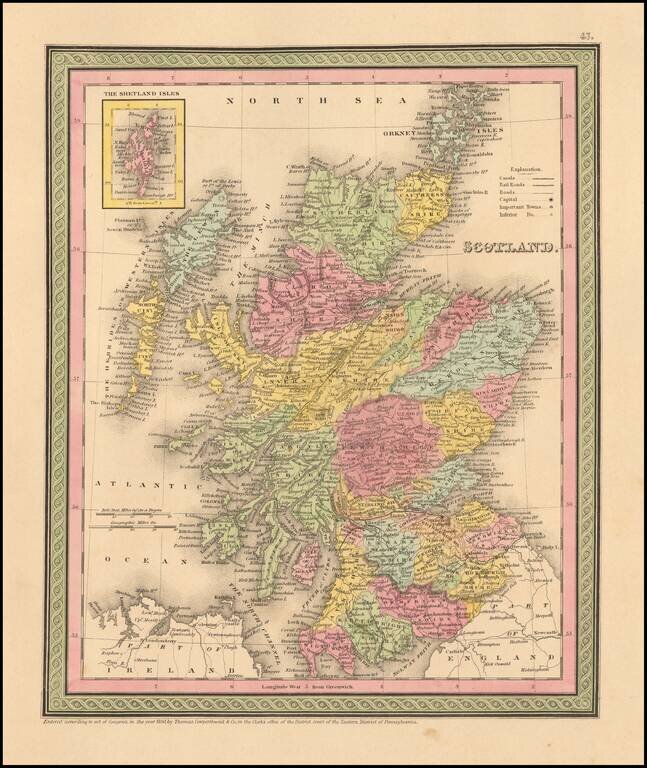
Detailed and interesting map of Scotland, hand colored by county and showing towns, rivers, lakes, railroads, roads, etc. Inset of the Shetland Islands.
A decorative interesting map.
If you are a student, write to us in telegram: @antiquemaps and indicate what material you need and for what work you need a map in high detail. We are ready to provide material on special terms. For students only!


