Map size in jpg-format: 137.664MiB
Click to open in high resolution (open in new tab).
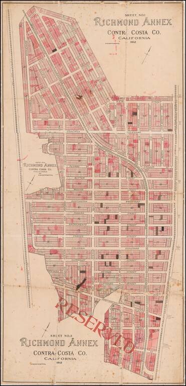
Early Richmond Annex / El Cerrito Real Estate Promotional Map
Large separately published map of Richmond Annex, issued in 1912.
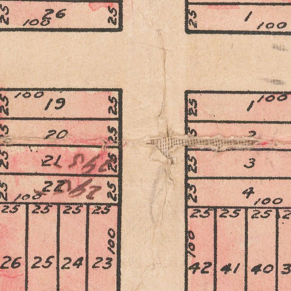
The map would seem to have been used by a local real estate promoter, with pencil annotations and color shading, neither of which seem to be defined within the map.
Three railroad lines are shown, including:
Richmond Annex / El Cerrito, California
In 1895, Augustin S. Macdonald visited Point Richmond and conceived the idea of a transcontinental rail terminal and ferry service to provide a direct route from Richmond to San Francisco. Macdonald presented his idea to the Santa Fe Railroad and in 1899 the railroad established its western terminus in Point Richmond. The first overland passenger train arrived in Richmond from Chicago in 1900. In 1901, Santa Fe moved its shops to Richmond and the Standard Oil Company built its refinery. When Richmond incorporated as a city in 1905 it had a population of 2,150 and was already an established industrial town. The city charter was adopted in 1909, and by 1910 the town numbered 7,500. Within a few years the following companies would re-locate to Richmond: Winehaven, Pullman Palace Car Shops, American Radiator, Standard Sanitary Company, Stauffer Chemical Company, and several others less well known.
Town sites began to emerge around these industries, as Rancho San Pablo's vast grain fields were subdivided into uniform city lots. As the City grew during the 1920s and 1930s, Richmond's Downtown emerged as the City's business and retail center. The Carquinez Hotel (later renamed Hotel Don) opened its doors in 1925 and soon became the center of the City's social and civic life. Construction of shipping port terminals began in this period.
By 1907 harbor construction was being promoted and major dredging and terminal construction was authorized by bond issues in 1912 and 1920.
Rarity
We locate a single example (UC Berkeley).
If you are a student, write to us in telegram: @antiquemaps and indicate what material you need and for what work you need a map in high detail. We are ready to provide material on special terms. For students only!


