Map size in jpg-format: 7.87369MiB
Click to open in high resolution (open in new tab).
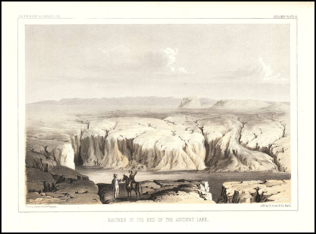
Interesting view showing a dry lake bed on the Arizona/California Border.
The view was engraved by Charles Koppel for the Reports of Explorations and Surveys To Ascertain The Most Practicable and Economical Route For A Railroad From The Mississippi River To the Pacific Ocean, which was conducted by the Secretary of War.
If you are a student, write to us in telegram: @antiquemaps and indicate what material you need and for what work you need a map in high detail. We are ready to provide material on special terms. For students only!


