logo

1999. (Puglia) La Penisola Salentina

  • (Puglia) La Penisola Salentina

(Puglia) La Penisola Salentina information:

Year of creation: 
Resolution size (pixels): 
 7997x11372 px
Disk Size: 
 38.0683MiB
Number of pages: 
 1
Place: 
 Lecce
Author: 

Print information. Print size (Width x height in inches):
Printing at 72 dpi 
  111.07 х 157.94
Printing at 150 dpi 
 53.31 х 75.81
Printing at 300 dpi 
 26.66 х 37.91

An example of detailing the file of this map of in a printable high-resolution:

Click to open in high resolution (open in new tab).
Attention! this is just the central piece (central area 960x960 px) of the map file!
This is an example, so that you can see and study the level of detail of a given map. The entire Map will be fully available after payment!

(Puglia) La Penisola Salentina

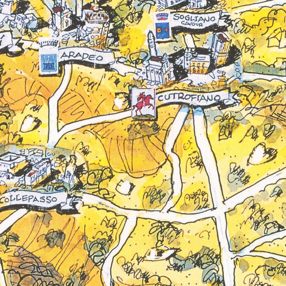
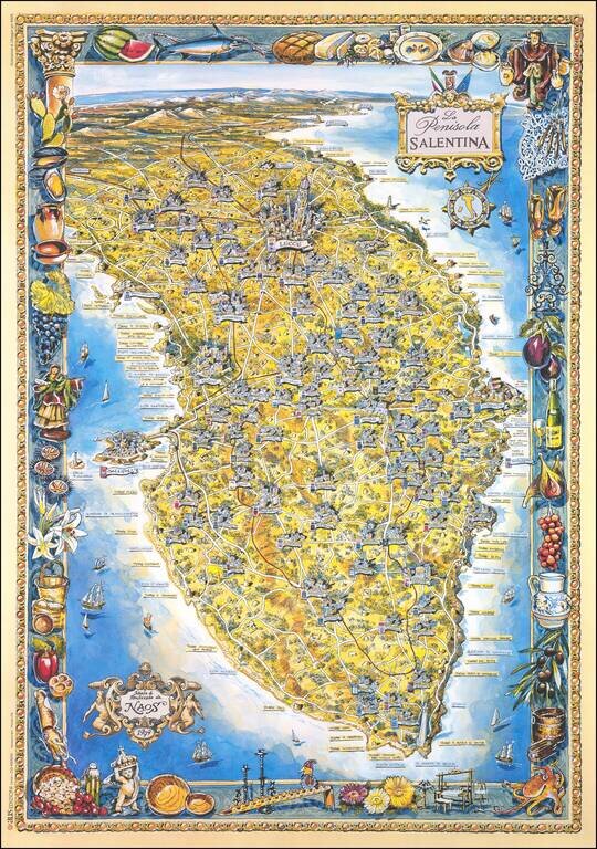
Brilliantly colorful pictorial map of the Salento Peninsula in Apulia, Italy.

The map features a border depicting the products of the region. The towns are rendered pictorially, with particular attention shown to Gallipoli and Lecce.

The map was made by the artist John Duggan, for NAOS.

The title cartouche is surmounted by the flags of Italy and the European Union.


Special conditions for students!

If you are a student, write to us in telegram: @antiquemaps and indicate what material you need and for what work you need a map in high detail. We are ready to provide material on special terms. For students only!

Item information:

Year of creation:
Size:
7997x11372 px
Disk:
38.0683MiB
Number of pages:
1
Place:
Lecce
Author:
John Duggan.
$14.99

Related item