Map size in jpg-format: 97.1214MiB
Click to open in high resolution (open in new tab).
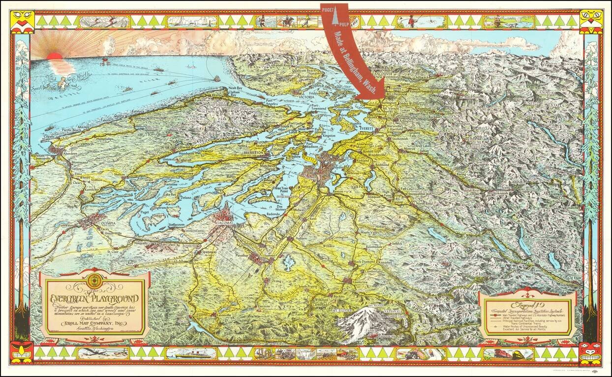
Fine large pictorial map of Puget Sound and the Northwestern Part of Washington State, which was included with a book on the history of paper pulp entitled Making Puget Pulp--A Pictorial Tour of Puget Sound Pulp & Timber's Plant At Bellingham, Washington.
The Evergreen Playground map was originally drawn during the Great Depression by Ed Poland, cartographer of many years at Kroll Map Company in Seattle, and changed over time. There have been some changes made over the years, such as inserting the Floating Bridges (I-90 and 520) and changing the border of the map - but the flavor remains the same. A pictorial birds-eye view of the Puget Sound with great place name detail and artistic touch by a master draftsman.
Extends south to Mt. Rainer and Alder Dam, east to Wenatchee and Lake Chelan, highlighting Bellingham, Washington, the home of Puget Sound Pulp & Timber's pulp plant.
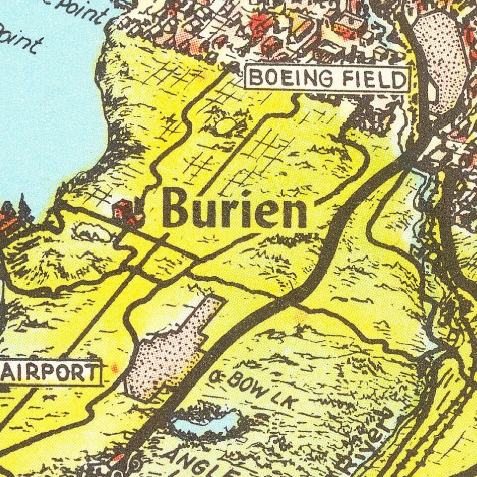
The view also shows in its entirety the Olympic Peninsula, locating Shelton, Port Townsend, Port Angeles, Neah Bay and all of the Pacific beach communities south to Hoquiam. Good detail of the Cascade Mountains all the way to Canada. Each town and city is depicted with individual buildings. Produced to promote tourism and business, the map suggests the area has "Unequaled Transportation Facilities" which include highways, numerous railroads, water routes and "Excellent Air Service to all Points." The ship routes are delineated including freighter lines to the Orient, Hawaii, Australia, New Zealand, Mexico and many others. Surrounded by a very decorative border with totem pole motifs, train, plane, and various recreational and commercial activities. Decorative title cartouche and a second cartouche for the legend. A beautifully rendered mermaid compass rose is in the Pacific just below a stylized sunset with glowing clouds.
If you are a student, write to us in telegram: @antiquemaps and indicate what material you need and for what work you need a map in high detail. We are ready to provide material on special terms. For students only!
![[Map of the United States, illustrating the routes of the Candian Pacific Railway and the Seattle, Lake Shore and Eastern Railway]](/map/small/71080.jpg)

