Map size in jpg-format: 999640B
Click to open in high resolution (open in new tab).
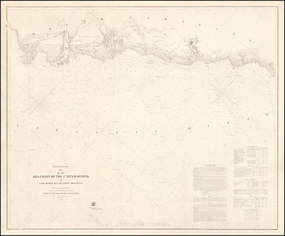
Rare (unrecorded) separately issued sea chart of the region from Savannah to Bull's Bay, published at the outset of the Civil War by the United States Coast Survey.
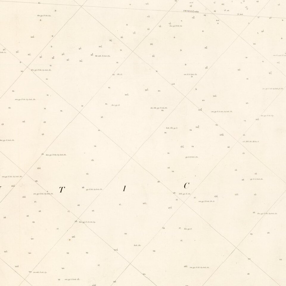
A trove of information, this chart includes immensely detailed soundings; navigational hazards; navigational aids such as lighthouses and light ships; and sailing directions. Also provided is detailed topographical and cartographical information on the adjacent coastal regions, at times extending well inland.
An earlier version of this chart printed on thin paper was bound in the Report of the Superintendent of the Coast Survey for 1857. The example offered here retains the "Preliminary" label in the title but includes many additional soundings, shading in shallow coastal areas, and above all much new information about inland waterways.
This updated edition was likely issued in 1861 or 1862, as a note at lower right refers to a hydrographic survey conducted in 1860. This dating, and the preliminary "outline" character of the engraving of the inland waterways, raise the possibility that this chart was revised and hurried into print to support Union naval operations during the early phases of the Civil War.
This example of the chart is also remarkable for having been printed on heavy paper, clearly intended as a working chart, though the condition (some tears, but clean) suggests it never made it to sea.
The U.S. Coast Survey
The Office of the Coast Survey is the oldest scientific organization in the Federal Government. It dates to 1807, when President Jefferson established it for the purpose of fostering maritime commerce. The website of the National Oceanic and Atmospheric Administration (NOAA) offers this tribute:
These men and women (the Coast Survey hired women professionals as early as 1845) helped push back the limits of astronomic measures, designed new and more accurate observational instruments for sea and land surveying, developed new techniques for the mathematical analysis of the mountains of data obtained by the field parties, and further refined techniques of error analysis and mitigation. It was the Coast Survey that led American science away from the older descriptive methods to the modern methods of statistical analysis and the prediction of future states of natural phenomena based on mathematical modeling. Virtually all branches of science, including the social and biological sciences, have adapted similar methodologies and similar techniques in their quest for scientific truth. But, in the United States, it should be remembered that it was the Coast Survey that first trod that path.Each Coast Survey chart represented an immense undertaking. For example, this chart of the South Carolina-Georgia coast is based on data gathered by separate parties focusing on terrestrial topography, triangulation, and hydrography between 1849-1860. At least 18 individual contributors are named on the chart itself, a figure including neither the many lower-ranking members of the survey parties, nor the engravers, printers, &c.
OCLC lists a few examples of the chart, though the information given is insufficient to determine what editions are being described. The chart is not describe in any of the standard reference works, including Guthorn, United States Coastal Charts; Phillips, List of Maps of America; and Stephenson, Civil War Maps. AMPR lists no examples of either state offered for sale in the past 30 years.
The United States Office of the Coast Survey began in 1807, when Thomas Jefferson founded the Survey of the Coast. However, the fledgling office was plagued by the War of 1812 and disagreements over whether it should be civilian or military controlled. The entity was re-founded in 1832 with Ferdinand Rudolph Hassler as its superintendent. Although a civilian agency, many military officers served the office; army officers tended to perform the topographic surveys, while naval officers conducted the hydrographic work.
The Survey’s history was greatly affected by larger events in American history. During the Civil War, while the agency was led by Alexander Dallas Bache (Benjamin Franklin’s grandson), the Survey provided the Union army with charts. Survey personnel accompanied blockading squadrons in the field, making new charts in the process.
After the Civil War, as the country was settled, the Coast Survey sent parties to make new maps, employing scientists and naturalists like John Muir and Louis Agassiz in the process. By 1926, the Survey expanded their purview further to include aeronautical charts. During the Great Depression, the Coast Survey employed over 10,000 people and in the Second World War the office oversaw the production of 100 million maps for the Allies. Since 1970, the Coastal and Geodetic Survey has formed part of the National Oceanic and Atmospheric Administration (NOAA) and it is still producing navigational products and services today.
If you are a student, write to us in telegram: @antiquemaps and indicate what material you need and for what work you need a map in high detail. We are ready to provide material on special terms. For students only!


![[The First Maps in a la poupée Printed Color] Cartes en Couleur des Lieux Sujets aux tremblements de Terre Dans toutes les parties du Monde Selon le Sisteme de l’impulsion Solaire](/map/small/52293op.jpg)